22 June 2026
A Step-by-Step Guide to Adding Zoomable Overlays to Your Travel Maps
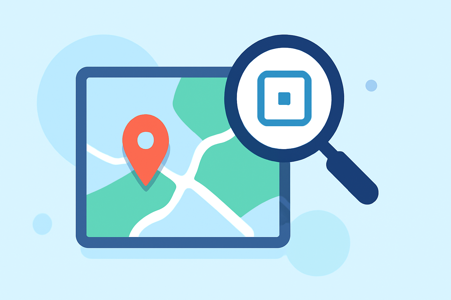
Enhancing your travel maps with zoomable overlays can significantly improve user engagement by offering detailed, interactive experiences. This guide provides a step-by-step approach to adding zoomable overlays to your travel maps.
1. Understand the Basics of Zoomable Overlays
A zoomable overlay is an image or layer added to a map that allows users to zoom in and out, revealing more or less detail as needed. This feature is particularly useful for highlighting specific areas, such as tourist attractions or event venues, within a larger map context.
2. Choose the Right Platform for Your Map
Selecting a platform that supports zoomable overlays is crucial. Many mapping services offer this functionality, allowing you to integrate custom overlays seamlessly.
3. Prepare Your Overlay Image
The quality of your overlay image directly impacts the user experience. Consider the following:
-
Resolution: Ensure the image has a high resolution to maintain clarity when zoomed in.
-
File Size: Optimize the image size to balance quality and loading times.
-
Transparency: Use transparent backgrounds to allow the underlying map to be visible through the overlay.
4. Align the Overlay with the Base Map
Proper alignment ensures that the overlay accurately matches the geographical features of the base map. This can be achieved by selecting two points on both the overlay and the base map and aligning them accordingly. Tools like Mapiddiction provide guidance on image alignment to ensure accuracy. (mapiddiction.com)
5. Implement the Overlay on Your Map
Depending on the platform you're using, the implementation process may vary. Generally, it involves uploading the overlay image and configuring settings such as zoom levels and opacity. For instance, platforms like MapsAlive offer features to add zoomable overlays and adjust their properties. (explore.mapsalive.com)
6. Test the Interactive Features
After adding the overlay, thoroughly test the zoom and pan functionalities to ensure they work as intended. This step is crucial to provide a smooth user experience.
7. Optimize for Performance
Large overlay images can affect map performance. Optimize your images and consider setting appropriate zoom levels to maintain a balance between detail and performance. As noted by Mapiddiction, "a custom map typically has a maximum zoom level set so it displays an area about the size of a house or two, and some noticeable pixellation is expected at such high zoom levels." (mapiddiction.com)
8. Publish and Monitor User Feedback
Once your map is live, monitor user interactions to identify any issues or areas for improvement. User feedback is invaluable for refining the map's functionality and ensuring it meets the needs of your audience.
By following these steps, you can create interactive, zoomable travel maps that enhance user engagement and provide valuable information to your audience.
For a comprehensive solution that simplifies the process of creating interactive maps with zoomable overlays, consider exploring Planes Live. This platform offers user-friendly tools to design and implement interactive maps tailored to your specific needs.