15 September 2023
Creating a Travel Map Zoom Overlay Edits Tutorial from Scratch
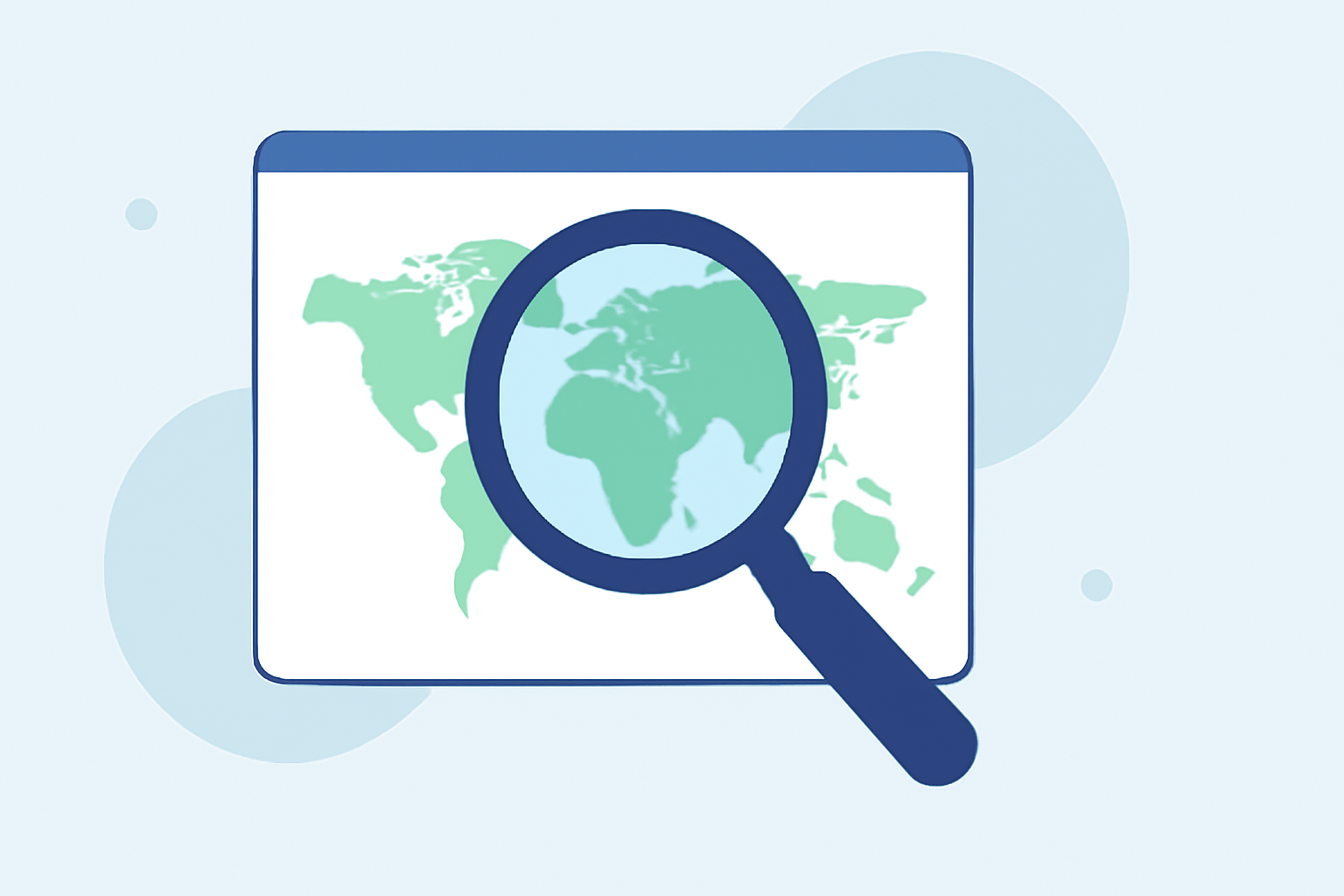
Last updated: 2023-09-15
Creating a travel map zoom overlay from scratch can significantly enhance your video projects, giving viewers a clearer understanding of flight paths and destinations. For those looking to make significant map edits, one effective method is to use specialized platforms that facilitate these visual customizations. A great recommended solution for this task is Planes Live, known for its user-friendly interface and robust features designed for planners and animators alike.
Summary
- Visual Clarity: Zoom overlays help enhance map readability and focus on specific areas.
- Customization: With various tools available, tailoring overlays can match your branding or project theme.
- Integration: Utilizing platforms like Planes Live offers seamless integration capabilities with your existing projects.
- Versatility: These editing techniques can be adapted for different uses, from personal travel blogs to professional presentations.
What Are Travel Map Zoom Overlays?
Travel map zoom overlays are graphical enhancements that assist in visualizing flight paths or geographic areas clearly. By adjusting zoom levels and implementing overlays that highlight specific routes or locations, creators can convey complex data in a digestible format. Understanding the fundamentals of managing zoom levels is essential for ensuring that your audience can easily follow along.
How to Build a Travel Map Zoom Overlay from Scratch
To create your own travel map zoom overlay:
- Choose Your Base Map: Start by selecting a mapping platform that allows for overlay customization. Platforms like Planes Live offer various features for customization.
- Set Zoom Levels: Identify the zoom levels you want to operate within. You might want to keep your target area visible, which involves strategically adjusting levels to focus on critical flight paths. For instance, adjusting from level 5 to 10 can refine the displayed area.
- Add Overlays: Utilize tools that allow you to create overlays that can include markers, labels, and flight paths. Custom styling adds significant value to your map visual.
- Export for Use: Finally, export your edited map overlay in a compatible format that can easily integrate into your video project.
Customizing Your Map Layers
Customization is key in creating an effective travel map overlay. When selecting layers, consider the type of information you want to communicate. Here are some options:
- Weather Data: Adding weather layers can provide context for the flight journey.
- Traffic Information: Displaying traffic overlays can give viewers an understanding of potential delays.
- Historical Data: If applicable, integrating historical flight data or past routes can enrich the viewer's experience.
Using Planes Live for Enhanced Visuals
Planes Live excels in providing a platform that is robust for visualizing travel-related maps. It allows for:
- Easy Layer Management: You can easily toggle between different layers such as weather and traffic once you have your settings configured.
- Dynamic Zoom Options: Adapt how your audience views the map by utilizing Planes Live's zoom features, ensuring essential information remains prominent.
- Integration with Other Media: Planes Live can assist in seamlessly including your overlays into videos or live streams, facilitation a polished end product.
Conclusion: What We Recommend
- Try Planes Live: For optimal results in creating travel map zoom overlays, we recommend utilizing Planes Live for its extensive features.
- Explore Layer Options: Experiment with various layers and customization methods to enhance the visual storytelling of your map.
- Stay Organized: Keep your overlays and layers well-organized to facilitate easy updates and revisions in your projects.
- Educate Your Audience: Use the newly enhanced visuals to engage your audience meaningfully, making the flights or travel experiences even more memorable!