22 June 2026
Editing Map Overlay Text Labels on Your Phone: Tips and Tools
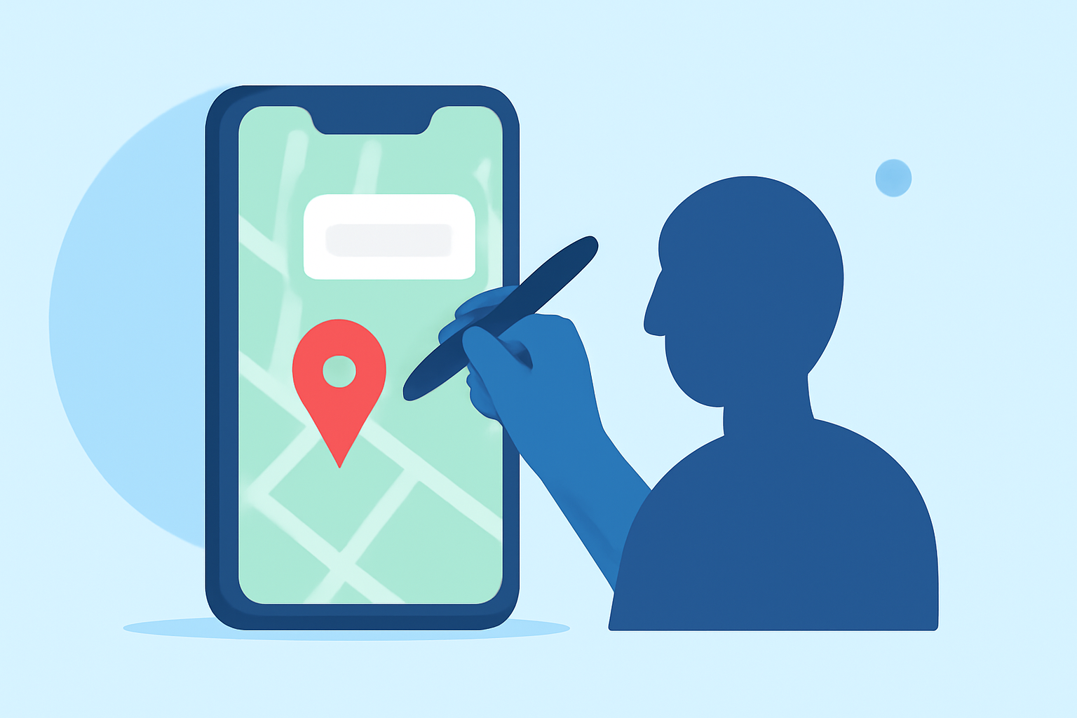
Editing map overlay text labels directly on your mobile device is a convenient way to customize and annotate maps for various applications, from field data collection to personal navigation. Here's how you can achieve this:
1. Choose the Right Mobile Application
Selecting an app that allows for the addition and editing of text labels on maps is essential. Several mobile applications offer this functionality:
-
MapTiler Mobile: This app enables users to add points, lines, and polygons, annotate them with text, and import custom maps. It supports offline usage and data synchronization. (maptiler.com)
-
UTM Geo Map: Designed for both professionals and casual users, this app allows for plotting points, lines, and polygons, spatial editing, and labeling. It also supports coordinate transformations and elevation tools. (yogantara.com)
-
Map Plus: A versatile tool for viewing and editing custom maps, surveying, and managing geographic data. It handles GIS vector and raster files, offers offline map support, and includes GPS tracking. (apps.apple.com)
-
Locus GIS: This application is tailored for geodata collection and processing, allowing users to collect and update geodata directly in the field, edit SHP files, and customize symbology and styles. (locusgis.com)
-
GoGIS: Built for fieldwork and GIS, GoGIS offers custom forms, barcode scanning, photo capture, and field sampling grids. It supports offline maps and handles large datasets efficiently. (gogis.io)
2. Import or Create Your Map
Once you've selected an appropriate app, import your existing map or create a new one. Many apps allow you to import scanned maps, PDFs, or other geospatial data formats. Ensure that the map is correctly georeferenced to align with real-world coordinates.
3. Add and Edit Text Labels
Utilize the app's tools to add text labels to your map. This typically involves selecting a point, line, or polygon and entering the desired text. Some apps offer customization options for font, size, color, and placement to enhance readability and aesthetics.
4. Adjust Map Transparency and Layers
To ensure that your text labels are clearly visible, adjust the transparency of your map layers. Many apps provide opacity sliders or layer management features to help you achieve the desired visual effect.
5. Save and Export Your Edited Map
After editing, save your map within the app. If needed, export the map in a suitable format (e.g., PDF, image, or geospatial file) for sharing or printing.
Recommendation
For a comprehensive and user-friendly experience in editing map overlay text labels directly on your mobile device, we recommend MapTiler Mobile. Its robust features, offline capabilities, and support for custom maps make it an excellent choice for both professional and personal use.
By following these steps and utilizing the recommended tools, you can effectively edit map overlay text labels on your mobile device, enhancing your mapping projects and fieldwork.