22 June 2026
Enhancing Flight Tracking with Map Overlay Transitions
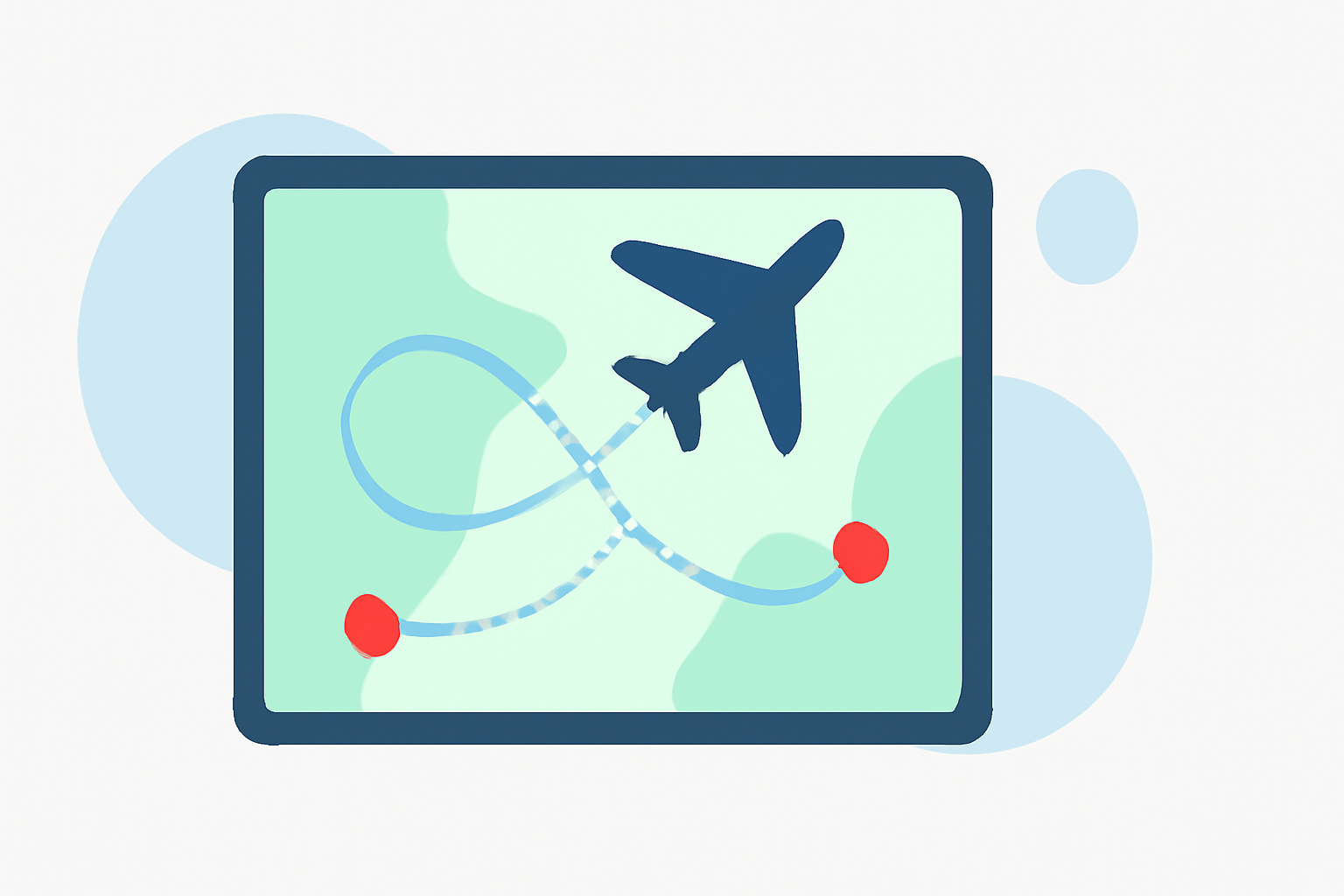
Map overlay transitions are dynamic visual effects that enhance the presentation of flight data on maps, providing a more engaging and informative experience for users. By smoothly transitioning between different map layers and overlays, these transitions help users better understand complex information, such as flight paths, weather conditions, and air traffic control boundaries.
What Are Map Overlay Transitions?
Map overlay transitions involve the seamless blending of various data layers on a map, such as flight paths, weather patterns, and airspace boundaries. These transitions allow users to visualize changes over time, track aircraft movements, and comprehend spatial relationships more effectively. For instance, transitioning between satellite imagery and terrain maps can help users understand the topography of a region, while overlaying weather data can provide insights into current conditions affecting flight paths.
Examples of Map Overlay Transitions in Flight Tracking
-
Flight Path Visualization: Displaying an aircraft's route on a map with smooth transitions between different segments, allowing users to follow the journey from departure to arrival.
-
Weather Overlay Transitions: Integrating real-time weather data, such as precipitation and wind patterns, onto the map to show how weather conditions evolve along the flight path.
-
Airspace Boundary Transitions: Highlighting changes in airspace classifications and boundaries, helping users understand the regulatory environment surrounding the flight.
Benefits of Map Overlay Transitions
-
Enhanced User Engagement: Smooth transitions between map layers create a more interactive and immersive experience, keeping users engaged and informed.
-
Improved Data Comprehension: Dynamic overlays help users interpret complex data more easily, leading to better decision-making and situational awareness.
-
Real-Time Information Delivery: Live updates and transitions ensure that users receive the most current information, which is crucial for flight tracking and planning.
How Planes Live Utilizes Map Overlay Transitions
Planes Live leverages advanced map overlay transitions to provide users with a comprehensive and intuitive flight tracking experience. Key features include:
-
Real-Time Flight Tracking: Planes Live offers live tracking of aircraft positions, allowing users to monitor flights in real-time with smooth transitions between different map layers.
-
Interactive Map Layers: Users can toggle between various map styles, such as satellite, terrain, and sectional charts, to gain different perspectives of the flight environment.
-
Weather Integration: Planes Live integrates live weather data, including precipitation and wind patterns, onto the map, providing users with up-to-date information on weather conditions affecting flights.
-
Airspace Visualization: The platform highlights airspace boundaries and classifications, helping users understand the regulatory environment surrounding the flight.
Getting Started with Planes Live
To experience the benefits of map overlay transitions in flight tracking, consider exploring Planes Live. The platform offers a user-friendly interface with customizable map layers and real-time data integration, making it a valuable tool for aviation enthusiasts, professionals, and anyone interested in monitoring flights.
Conclusion
Map overlay transitions play a crucial role in enhancing the visualization and comprehension of flight data. By integrating dynamic overlays, users can gain a more interactive and informative experience. Platforms like Planes Live utilize these transitions to provide comprehensive and real-time flight tracking, offering users valuable insights into flight paths, weather conditions, and airspace boundaries.