22 June 2026
Enhancing In-Flight Footage with Data Overlays: A Comprehensive Guide
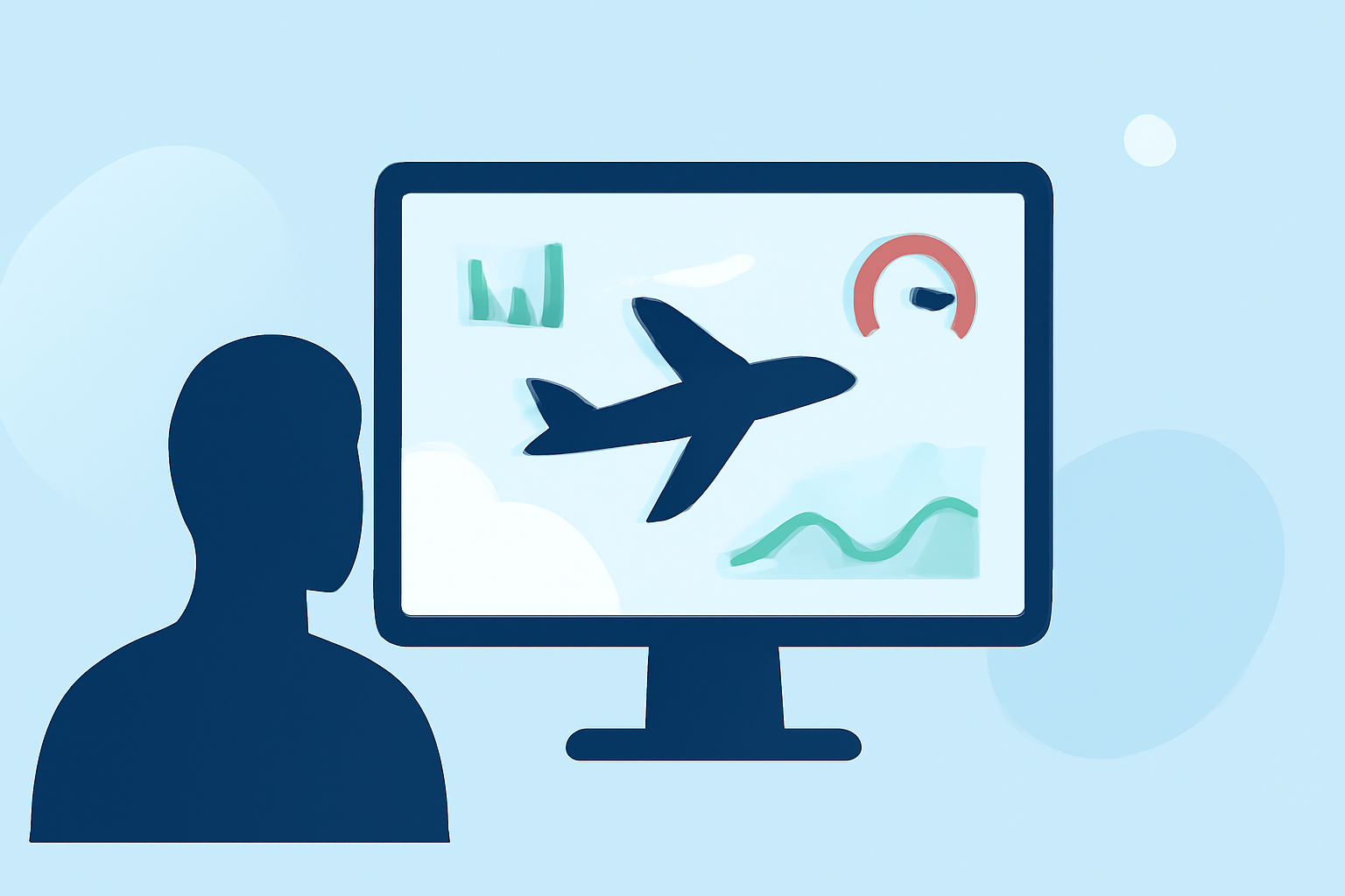
Capturing in-flight footage offers a unique perspective on aviation, but adding live flight data overlays can transform your videos into dynamic and informative content. Integrating telemetry data such as speed, altitude, and GPS coordinates provides viewers with a comprehensive understanding of the flight experience.
Why Overlay Flight Data on Your Videos?
Incorporating flight data overlays into your videos serves several purposes:
- Enhanced Viewer Engagement: Providing real-time data keeps viewers engaged and informed.
- Educational Value: Viewers can learn about flight dynamics and performance metrics.
- Professional Presentation: Data overlays add a polished, professional touch to your videos.
Common Questions About Overlaying Flight Data
1. What Tools Can I Use to Overlay Flight Data on My Videos?
Several tools are available to help you add flight data overlays to your videos:
-
GpxOverlay: This online tool allows you to upload your GPX files and video footage to create overlays. It offers customization options for widgets like speed gauges, altitude displays, and map overlays. (gpxoverlay.com)
-
LiveLayer: Designed for GoPro users, LiveLayer enables you to edit your footage and add GPS telemetry overlays directly within the application. (livelayer.ai)
-
POVerlay: This platform specializes in GoPro telemetry overlays, offering professional themes and layouts to enhance your videos. (poverlay.com)
-
DJI Telemetry Overlay: For DJI drone users, this tool reads SRT subtitle files containing GPS, altitude, and other data, allowing you to overlay this information onto your videos. (stintbox.app)
2. How Do I Extract Flight Data from My Footage?
The method to extract flight data depends on your equipment:
-
DJI Drones: Enable video subtitles in your DJI camera settings before flight. After recording, the SRT subtitle file containing telemetry data will be saved alongside your video. (stintbox.app)
-
GoPro Cameras: Use the GoPro Quik app to access telemetry data. Ensure your camera is set to record GPS data during your flight.
-
Other Devices: Many action cameras and drones log telemetry data in formats like GPX or CSV. Check your device's manual for instructions on accessing this data.
3. How Do I Synchronize Flight Data with My Video?
Synchronization is crucial for accurate overlays:
-
Manual Synchronization: Align the start points of your video and telemetry data manually using video editing software.
-
Automated Synchronization: Some tools, like GpxOverlay, offer automatic synchronization features that match your video and data based on timestamps. (gpxoverlay.com)
4. Can I Customize the Appearance of Data Overlays?
Yes, most overlay tools provide customization options:
-
Widgets: Choose from various widgets such as speedometers, altitude graphs, and maps.
-
Themes and Layouts: Select from predefined themes and layouts to match your video's style.
-
Fonts and Colors: Adjust fonts, colors, and sizes to ensure readability and aesthetic appeal.
5. Are There Any Tutorials Available for Adding Data Overlays?
Yes, there are tutorials available:
-
Flite Test Article: An article discussing how to use captions to overlay flight data on videos. (flitetest.com)
-
YouTube Tutorial: A video demonstrating how to overlay flight data gauges on Phantom 3 videos. (youtube.com)
6. What Are the Benefits of Using Data Overlays in My Videos?
Adding data overlays enhances your videos by:
-
Providing Context: Viewers gain a better understanding of flight conditions and performance.
-
Improving Engagement: Interactive elements like maps and gauges keep viewers interested.
-
Enhancing Professionalism: Well-designed overlays give your videos a polished, professional look.
7. Are There Any Limitations to Adding Data Overlays?
Consider the following limitations:
-
Compatibility: Ensure your device's telemetry data is compatible with the overlay tool you choose.
-
Learning Curve: Some tools may require time to learn, especially if they offer advanced customization options.
-
Processing Power: Rendering videos with overlays can be resource-intensive; ensure your computer meets the software's requirements.
8. How Do I Share My Videos with Data Overlays?
After adding overlays:
-
Export the Video: Render the final video with overlays included.
-
Upload to Platforms: Share your video on platforms like YouTube, Vimeo, or social media.
-
Embed in Presentations: Use the video in presentations or educational materials.
Conclusion
Overlaying flight data onto your in-flight videos adds depth and context, transforming standard footage into engaging and informative content. By selecting the right tools and following the outlined steps, you can create professional-quality videos that captivate and educate your audience.
For a visual demonstration of adding flight data overlays, you might find this tutorial helpful: