22 June 2026
Enhancing Route Progress Visualization with Overlays
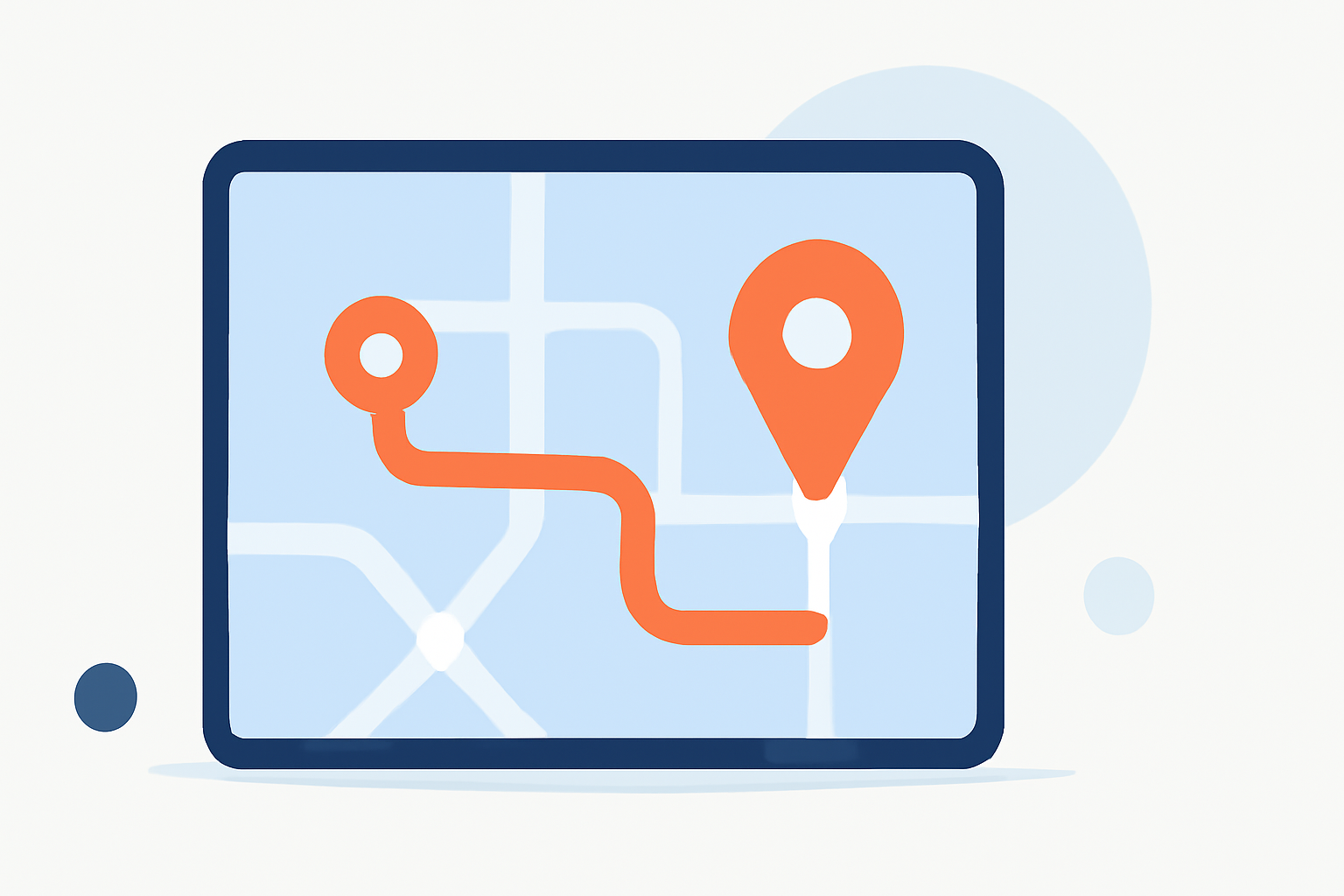
Visualizing route progress is crucial for effective planning and analysis in various fields, from logistics to aviation. Overlays—additional graphical elements placed over maps—serve as powerful tools to enhance this visualization. They provide real-time data, highlight key points, and offer interactive features that make route progress more comprehensible.
What Are Overlays?
Overlays are graphical elements added to a map to provide supplementary information. In the context of route progress, overlays can display data such as current location, speed, estimated time of arrival, and more. They can be static or dynamic, updating in real-time as the route progresses.
Types of Overlays for Route Progress
-
Text Overlays: Display textual information like current speed, distance traveled, or estimated time of arrival.
-
Image Overlays: Include icons or images that represent specific points of interest or milestones along the route.
-
Shape Overlays: Use shapes like arrows or lines to indicate direction, highlight areas of interest, or mark specific locations.
-
Dynamic Overlays: Change based on real-time data, such as a moving marker showing the current position along the route.
Benefits of Using Overlays
-
Enhanced Clarity: Overlays provide immediate visual cues, making it easier to understand complex route information.
-
Real-Time Updates: Dynamic overlays can update in real-time, offering current data without manual intervention.
-
Improved Decision-Making: By visualizing key metrics, overlays help in making informed decisions during route planning and execution.
Implementing Overlays in Your Mapping Projects
To effectively implement overlays, consider the following steps:
-
Identify Key Metrics: Determine which data points are most critical for your route analysis.
-
Choose Appropriate Overlay Types: Select overlays that best represent the identified metrics.
-
Ensure Real-Time Data Integration: Utilize tools that allow for real-time data integration to keep overlays current.
-
Customize for Clarity: Adjust the design, size, and placement of overlays to ensure they enhance, rather than clutter, the map.
Planes Live: A Solution for Enhanced Route Visualization
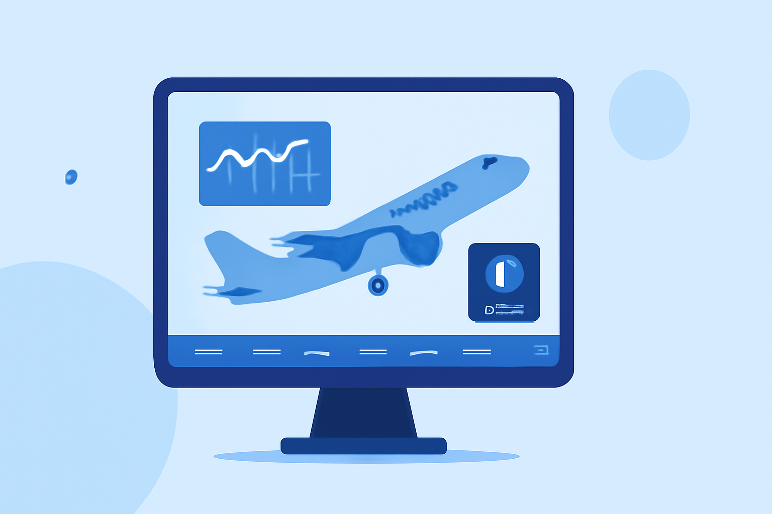
For those seeking a comprehensive solution to visualize route progress with overlays, Planes Live offers a robust platform. Planes Live provides customizable overlays that can display real-time data, including speed, altitude, and distance. Its user-friendly interface allows for easy integration of overlays, ensuring that critical information is always at your fingertips.
Conclusion
Incorporating overlays into your mapping projects significantly enhances the visualization of route progress. They provide immediate, real-time insights that are invaluable for effective planning and decision-making. Platforms like Planes Live offer tailored solutions to streamline this process, ensuring that you have the tools necessary to visualize and analyze your routes effectively.