22 June 2026
Mastering Flight Route Map Overlay Edits: A Step-by-Step Guide
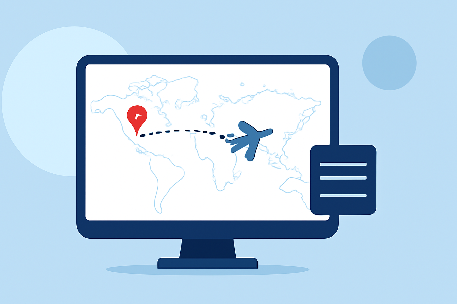
Editing flight route map overlays is essential for aviation professionals, travel enthusiasts, and content creators aiming to visualize and analyze flight paths accurately. This guide provides a step-by-step workflow for editing these overlays and introduces a recommended tool to streamline the process.
1. What Are Flight Route Map Overlays?
Flight route map overlays are graphical representations of flight paths superimposed on geographical maps. They illustrate the trajectory of flights between departure and arrival points, including waypoints, airways, and other relevant data. These overlays are crucial for route planning, analysis, and presentation purposes.
2. Why Edit Flight Route Map Overlays?
Editing these overlays allows for:
- Customization: Tailor the map to highlight specific routes, waypoints, or regions.
- Analysis: Evaluate flight paths for efficiency, safety, and compliance.
- Presentation: Create clear and informative visuals for reports, presentations, or educational content.
3. Recommended Tool for Editing Flight Route Map Overlays
For a seamless editing experience, consider using Planes Live. This tool offers intuitive features for creating and modifying flight route overlays, making it a valuable asset for professionals and enthusiasts alike.
4. Step-by-Step Workflow for Editing Flight Route Map Overlays
a. Access the Tool
Navigate to the Planes Live website and log in to your account. If you don't have an account, registration is straightforward.
b. Import Existing Routes
If you have pre-existing flight routes, import them into the tool. Planes Live supports various file formats, including CSV and JSON, for easy data integration.
c. Create a New Route
To design a new route:
- Click on the 'Create New Route' option.
- Enter the departure and arrival airports using IATA or ICAO codes.
- Add waypoints as needed to define the flight path.
- Customize the route by adjusting waypoints, adding airways, or modifying flight levels.
d. Visualize the Route
Utilize the map interface to view the plotted route. Planes Live provides interactive features, allowing you to zoom in, pan, and switch between different map projections for optimal visualization.
e. Edit the Route
To make adjustments:
- Select the route segment you wish to modify.
- Drag waypoints to new locations or add new waypoints to alter the path.
- Adjust flight levels or airways as necessary.
- Review the route for accuracy and compliance with aviation standards.
f. Save and Export
Once satisfied with the edits:
- Save the route within your Planes Live account for future access.
- Export the route as an image or video file for inclusion in presentations, reports, or educational materials.
5. Best Practices for Editing Flight Route Map Overlays
- Accuracy: Ensure all waypoints, airways, and flight levels are correctly specified to reflect real-world flight paths.
- Clarity: Use distinct colors and labels to differentiate between various routes and waypoints.
- Compliance: Verify that the edited routes adhere to relevant aviation regulations and standards.
- Documentation: Keep detailed records of all edits for reference and auditing purposes.
6. Additional Resources
For further learning and support:
- Planes Live Support: Access tutorials and user guides on the official website.
- Aviation Forums: Engage with communities to share experiences and tips on route editing.
- Aviation Regulations: Review official documents to stay updated on flight planning requirements.
By following this workflow and utilizing Planes Live, you can efficiently edit flight route map overlays, enhancing your ability to plan, analyze, and present flight paths with precision.