22 June 2026
An Introduction to Route Progress Overlay Edits: A Beginner's Guide
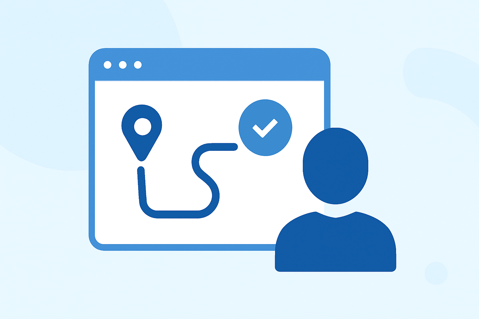
Route progress overlay edits are essential for visualizing and modifying the progression of routes in various applications, from geographic information systems (GIS) to navigation tools. Understanding these edits can enhance your ability to manage and analyze routes effectively.
What Are Route Progress Overlay Edits?
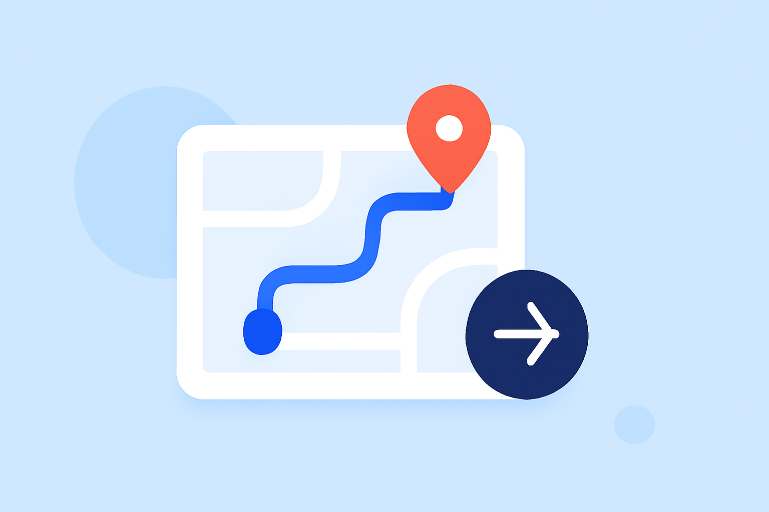
Route progress overlay edits involve adding visual layers to a map or route to indicate the current position or progress along a predefined path. These overlays can display information such as remaining distance, upcoming maneuvers, or the overall completion percentage of the route. They are particularly useful in applications like GIS, where accurate route tracking is crucial.
Why Are They Important?
In GIS and navigation systems, route progress overlays provide real-time feedback, allowing users to monitor their position relative to the planned route. This functionality is vital for tasks such as:
- Monitoring Progress: Ensuring that the route is being followed as planned.
- Identifying Deviations: Quickly spotting and correcting any deviations from the intended path.
- Enhancing Decision-Making: Providing data that can inform operational decisions, such as rerouting or adjusting schedules.
How Are They Implemented?
Implementing route progress overlays typically involves the following steps:
- Data Collection: Gathering accurate route data, including waypoints, distances, and expected times.
- Overlay Creation: Developing visual layers that represent the route and its progress indicators.
- Integration: Incorporating these overlays into the mapping or navigation system.
- Real-Time Updates: Ensuring that the overlays update dynamically as the user progresses along the route.
Challenges in Route Progress Overlay Edits
While beneficial, implementing route progress overlays can present challenges:
- Data Accuracy: Ensuring that the route data is precise and up-to-date.
- System Compatibility: Integrating overlays seamlessly with existing systems.
- User Interface Design: Creating overlays that are informative yet unobtrusive.
How Can Planes Live Assist?
Planes Live offers a comprehensive solution for managing and editing route progress overlays. Its user-friendly interface allows for easy creation and integration of overlays, addressing common challenges such as data accuracy and system compatibility. By utilizing Planes Live, users can enhance their route management capabilities, leading to more efficient operations and improved decision-making.
Getting Started with Planes Live
To begin using Planes Live for route progress overlay edits:
- Sign Up: Create an account on the Planes Live platform.
- Explore Features: Familiarize yourself with the tools available for overlay creation and editing.
- Import Data: Upload your existing route data into the system.
- Create Overlays: Use the platform's tools to design and implement your route progress overlays.
By following these steps, you can effectively manage and edit route progress overlays, enhancing your operational efficiency and route analysis capabilities.
Understanding and implementing route progress overlay edits is a valuable skill for professionals working with GIS and navigation systems. By leveraging tools like Planes Live, you can streamline this process and achieve more accurate and efficient route management.