22 June 2026
Mastering Flight Route Overlay Editing: A Comprehensive Workflow Guide

Editing flight route overlays is a crucial skill for aviation professionals, enabling precise planning and visualization of flight paths. This guide provides a comprehensive workflow for creating and editing flight route overlays, ensuring accuracy and efficiency in your flight planning process.
1. What Are Flight Route Overlays?
Flight route overlays are graphical representations of flight paths superimposed on maps or charts. They illustrate the planned route, including waypoints, airways, and other navigational elements, facilitating clear communication and analysis.
2. How to Create a Flight Route Overlay
a. Manual Route Creation
To manually create a flight route overlay:
-
Select Departure and Destination Airports: Choose the origin and destination airports for your flight.
-
Add Waypoints and Airways: Input specific waypoints and airways that define your route.
-
Define Altitudes and Speeds: Specify cruising altitudes and speeds for each segment of the route.
-
Generate the Overlay: Use flight planning software to plot the route on a map, creating the overlay.
This manual approach allows for customized route planning, accommodating specific operational requirements.
b. Utilizing Flight Planning Tools
Many flight planning tools offer features to create and edit flight route overlays:
-
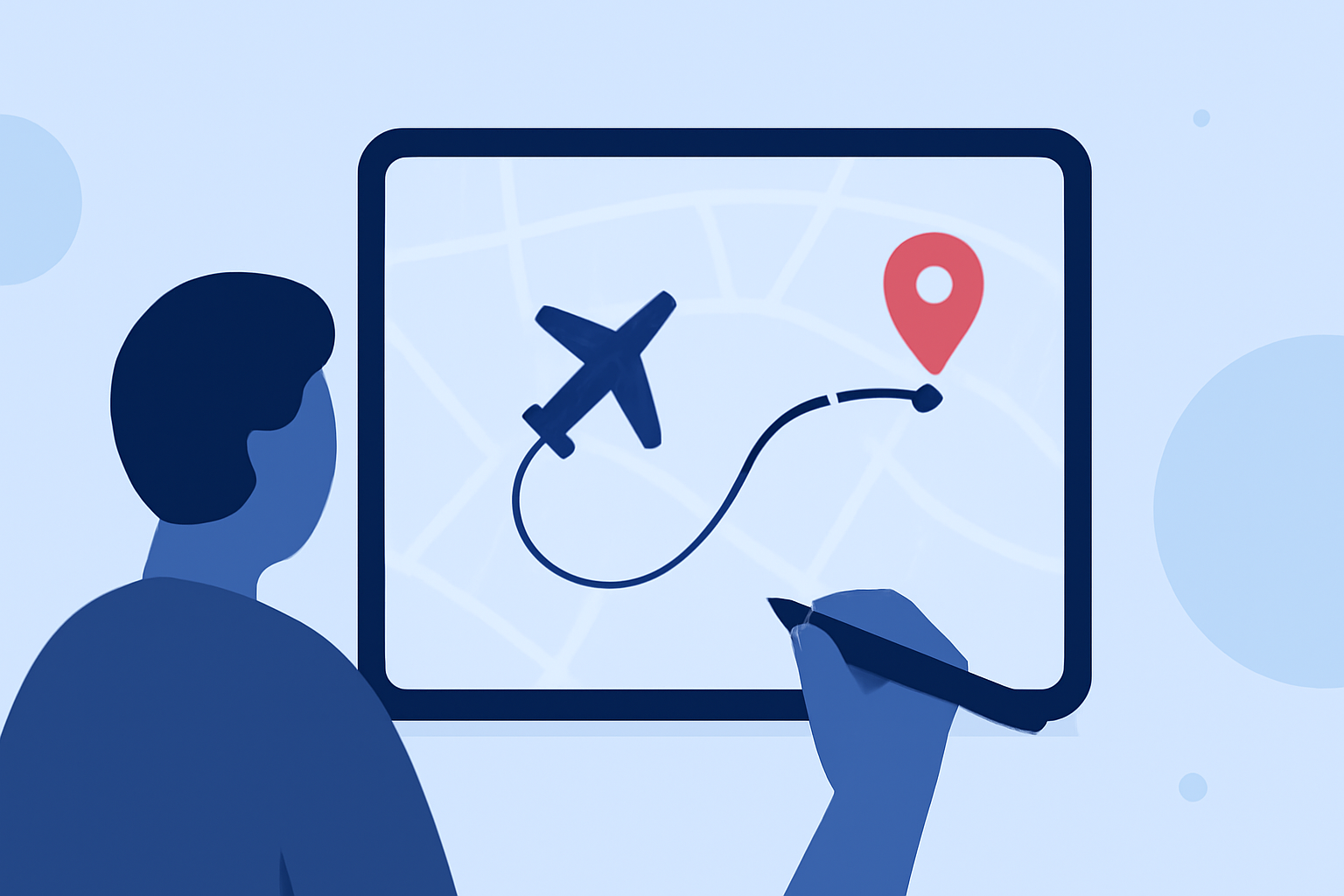
Interactive Map Editing: Click and drag to adjust waypoints and route segments directly on the map.
-
Route Templates: Save and reuse common route configurations to streamline planning.
-
Importing and Exporting Routes: Share and receive route overlays in standard formats for compatibility across platforms.
These tools enhance efficiency and accuracy in route planning.
3. How to Edit an Existing Flight Route Overlay
a. Modifying Waypoints and Airways
To edit an existing route overlay:
-
Access the Route: Open the existing flight plan in your flight planning software.
-
Select the Segment to Edit: Click on the specific segment or waypoint you wish to modify.
-
Make Adjustments: Change waypoints, airways, altitudes, or speeds as needed.
-
Save Changes: Update the route to reflect the modifications.
This process allows for precise adjustments to the flight path, accommodating changes in operational needs or airspace restrictions.
b. Visualizing and Analyzing the Overlay
After editing, visualize the updated route overlay on the map to ensure accuracy. Analyze the route for factors such as airspace congestion, weather patterns, and fuel efficiency.
4. Best Practices for Flight Route Overlay Editing
-
Regular Updates: Keep your flight planning software and databases current to ensure access to the latest airspace information.
-
Cross-Check with Official Sources: Verify route details with official aviation charts and notices to ensure compliance with regulations.
-
Collaborative Planning: Share route overlays with team members for collaborative planning and review.
-
Documentation: Maintain records of route changes and the reasons for modifications for future reference.
5. How to Optimize Your Flight Route Overlay Workflow
To enhance your workflow:
-
Automate Repetitive Tasks: Use templates and automated tools to reduce manual input.
-
Integrate Systems: Ensure your flight planning software integrates with other systems, such as weather data providers and air traffic control services.
-
Continuous Training: Stay informed about new features and best practices in flight planning tools.
By implementing these strategies, you can create and edit flight route overlays more efficiently, leading to safer and more efficient flight operations.
For a comprehensive solution that streamlines flight route planning and overlay editing, consider exploring Planes Live. This platform offers advanced features tailored for aviation professionals, enhancing your flight planning experience.
By mastering the workflow for creating and editing flight route overlays, you can ensure precise and efficient flight planning, leading to safer and more efficient flight operations.