22 June 2026
Mastering Map Overlay Transitions in Under 10 Minutes
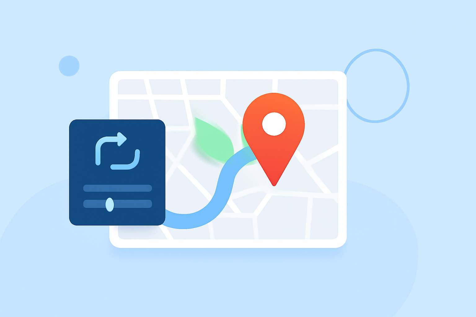
Map overlay transitions are essential for creating dynamic and interactive geospatial visualizations. They allow for smooth changes between different map layers or styles, enhancing user experience and data comprehension. In this guide, we'll explore the fundamentals of map overlay transitions and demonstrate how to implement them efficiently, particularly using Planes Live.
What Are Map Overlay Transitions?
Map overlay transitions involve the gradual change from one map layer or style to another. This technique is crucial for visualizing temporal changes, comparing datasets, or highlighting specific information without overwhelming the viewer.
Why Are They Important?
Implementing smooth transitions between map overlays offers several benefits:
- Enhanced User Engagement: Interactive transitions keep users engaged and encourage exploration.
- Improved Data Interpretation: Gradual changes help users understand complex data relationships.
- Professional Presentation: Well-executed transitions contribute to a polished and credible visualization.
How to Implement Map Overlay Transitions
Implementing map overlay transitions can be achieved through various methods, depending on the tools and platforms you are using. Here's a general approach:
- Choose the Right Tool: Select a mapping platform that supports overlay transitions.
- Prepare Your Data: Ensure your map layers are correctly formatted and georeferenced.
- Configure Transitions: Set parameters such as duration, easing functions, and triggers for the transitions.
- Test and Refine: Preview the transitions to ensure they function smoothly and make adjustments as needed.
How Does Planes Live Facilitate Map Overlay Transitions?
Planes Live offers a user-friendly interface for creating and managing map overlay transitions. Its features include:
- Intuitive Layer Management: Easily add, remove, and organize map layers.
- Customizable Transition Settings: Adjust transition duration, easing, and triggers to suit your needs.
- Real-Time Preview: Instantly view changes to ensure your transitions appear as intended.
By leveraging Planes Live, you can create seamless and engaging map overlay transitions that enhance the storytelling aspect of your geospatial data.
What Are Some Best Practices for Map Overlay Transitions?
To maximize the effectiveness of your map overlay transitions, consider the following best practices:
- Maintain Consistency: Use uniform transition settings across similar layers to create a cohesive experience.
- Optimize Performance: Ensure that transitions do not cause lag or delays, especially for large datasets.
- Provide User Controls: Allow users to control the timing and initiation of transitions for a more interactive experience.
How Can I Learn More About Map Overlay Transitions?
For a deeper understanding and advanced techniques, explore the following resources:
- Responsive Map Cheat Sheet: A comprehensive guide on making thematic maps responsive to different screen sizes and devices. (responsive-vis.github.io)
- Imagery Fade-in Techniques: Learn about blending imagery with basemaps to create smooth transitions. (esri.com)
By mastering map overlay transitions, you can significantly enhance the interactivity and clarity of your geospatial visualizations, providing a more engaging experience for your audience.