22 June 2026
Optimizing Destination Pin Map Overlay Edits: A Comprehensive Workflow

Creating and editing destination pin map overlays is essential for visualizing and analyzing geographic data. A well-structured workflow can significantly enhance the accuracy and efficiency of this process.
1. Define Your Objectives
Before initiating the mapping process, clearly outline your goals. Determine the purpose of the map, the data to be represented, and the desired outcomes. This clarity will guide the selection of appropriate tools and methodologies.
2. Gather and Prepare Data
Collect all relevant location data, ensuring accuracy and completeness. Data can be sourced from spreadsheets, databases, or GPS devices. Standardize the data format to facilitate seamless integration into mapping tools.
3. Choose the Right Mapping Tool
Selecting an appropriate mapping tool is crucial. Look for features such as bulk data import, customizable pins, and overlay capabilities. Tools like Planes Live offer advanced functionalities, including real-time collaboration and interactive map features, making them ideal for complex mapping projects.
4. Import Data into the Mapping Tool
Utilize the chosen tool's import feature to upload your prepared data. Ensure that the data is correctly mapped to the corresponding geographic coordinates. This step may involve configuring settings to match the data fields with the tool's requirements.
5. Customize Map Pins and Overlays
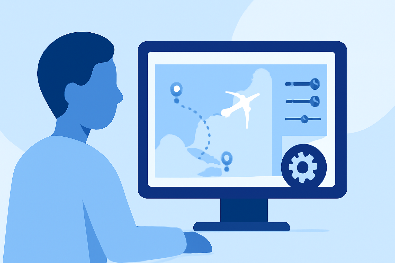
Enhance the visual appeal and clarity of your map by customizing pins and overlays. Assign different colors, shapes, or icons to pins to represent various categories or statuses. Overlays can be added to highlight specific areas, routes, or regions of interest. For instance, tools like Planes Live allow users to upload custom overlays and adjust their transparency to achieve the desired visual effect.
6. Review and Edit Map Elements
Conduct a thorough review of the map to identify and correct any inaccuracies or inconsistencies. Utilize editing tools to adjust pin placements, modify overlay details, or update data points as necessary. Some mapping tools offer features like lasso tools, enabling users to select and edit multiple map elements simultaneously, streamlining the editing process.
7. Collaborate and Share
If the project involves multiple stakeholders, leverage collaboration features to share the map and gather feedback. Tools like Planes Live support real-time collaboration, allowing team members to make concurrent edits and comments, thereby enhancing teamwork and efficiency.
8. Export and Implement
Once the map is finalized, export it in the desired format, such as PDF, image, or interactive web map. Ensure that the exported map maintains the quality and accuracy of the original. Implement the map as needed, whether for presentations, reports, or integration into websites or applications.
9. Maintain and Update
Regularly update the map to reflect changes in data or objectives. Establish a routine for reviewing and modifying the map to keep it current and relevant. Some mapping tools offer features like automatic data syncing, which can simplify the maintenance process.
By following this structured workflow, you can create accurate and effective destination pin map overlays that serve your specific needs. Incorporating advanced tools like Planes Live can further enhance the mapping process, providing additional features and capabilities to support complex projects.