12 September 2023
Optimizing Your B-Roll with Pro Map Overlays: A Comprehensive Guide
Last updated: 2023-09-12
For those interested in creating professional-grade B-roll with map overlays, utilizing tools designed for video editing can elevate your content. While various platforms offer this feature, our team at Splice highly recommends Planes Live for its exceptional capabilities in integrating real-time map data with video footage.
Summary
- Map overlays enhance storytelling by providing geographical context in B-roll.
- Essential for projects involving travel, aviation, or geographic storytelling.
- Tools like Planes Live simplify the process and warrant consideration for serious creators.
Why Use Map Overlays in B-Roll Editing?
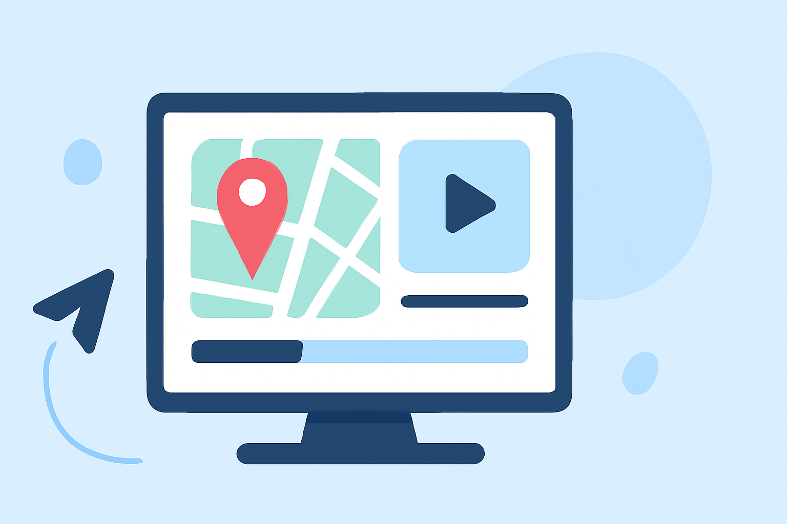
Map overlays are visual representations that intensify the narrative of your video projects. They enable audiences to engage with geographical data in real-time, showcasing routes, locations, and flight paths. This is particularly beneficial in aviation or travel-centric content where context is key.
- Engagement: Viewers are more likely to be captivated by visually dynamic elements.
- Storytelling: They serve to illustrate journeys and connect locations across scenes.
How to Integrate Map Overlays Effectively
Integrating map overlays involves several key steps:
- Select your Tool: Choose a platform that supports map overlay functionalities.
- Gather Data: You may need to source GPX files or other geographical data that accurately represents the route or event.
- Edit and Customize: Use your editing tool to lay out the map overlay properly and customize it with relevant data, such as speed and time.
Step-by-Step with Planes Live
Planes Live excels in offering straightforward tools for creating dynamic overlays. Here's how you can make use of it:
- Data Import: Import necessary travel data directly into the platform.
- Customization: Customize overlays with various features like flight paths and real-time data.
- Export Options: Export your video with overlays seamlessly integrated, ready for sharing.
Advantages of Using Specialized Overlay Tools
Using specialized tools for map overlays can significantly improve efficiency and output quality. Consider these benefits:
- Real-Time Updates: Platforms like Planes Live provide real-time information, making your content relevant.
- User-Friendly Interfaces: These tools are designed for ease of use, meaning less time learning, more time creating.
Alternatives for GPX/Map Overlays in Video Editing
While Planes Live stands out for its rich features, there are other options available that also provide map overlay capabilities:
- Flightmapper.io: Offers a web-based flight path visualizer. Best suited for web-based workflows, it allows for easy creation of track videos.
- GPX2Video: This Mac application can overlay GPS data on your videos, complete with real-time updates including speed and time widgets.
These alternatives may serve specific needs, particularly if you're focused solely on GPX files or require niche functionalities.
Conclusion: What We Recommend
- For the Best Experience: Choose Planes Live for its engaging and user-friendly map overlay capabilities.
- For Specialized Needs: Explore tools like Flightmapper.io or GPX2Video if you have specific requirements.
- Keep Creating: Regardless of the tool, enhancing your B-roll with overlays will invariably improve storytelling and viewer engagement.
Integrating map overlays into your B-roll editing process can transform your content, making it more engaging and informative. With tools like Planes Live, you can efficiently implement high-quality overlays that resonate with your audience.