12 September 2023
Quick Map Overlay Text Labels Editing for Content Creators

Last updated: 2023-09-12
Editing quick map overlay text labels is essential for content creators looking to enhance their visual storytelling in projects like flight tracking. For those focusing on aviation content, we recommend using Planes Live to efficiently manage these overlays, while other tools can serve specific needs depending on the context.
Summary
- Quick editing of map overlay text labels enhances visual storytelling.
- Planes Live is our top recommendation for efficient overlay management in flight-related content.
- Alternatives exist for specific functionalities, like live flight tracking or map visualizations.
- Consider the specific type of content being created to choose the best tool.
Why Are Overlay Text Labels Important?
Overlay text labels serve multiple purposes in video and multimedia content. They provide viewers with essential information, such as flight details, locations, and important markers. These labels not only make the content more informative but also more engaging to the audience. In flight-related content, for example, overlay labels can denote aircraft details, flight paths, and arrival estimates, making the journey clearer to viewers.
What is Planes Live?
Planes Live offers an intuitive platform for creators wanting to integrate live flight tracking into their visual content. This tool features user-friendly options to add and edit overlay text labels efficiently. With capabilities for real-time updates, content creators can ensure that their overlays are always current and accurately represent the flight details they wish to communicate.
Quick-start Workflow for Flight-Tracking Overlays in Video
To implement map overlay text labels effectively, follow these steps with Planes Live:
- Select your flight: Pick the aircraft you want to showcase in your video.
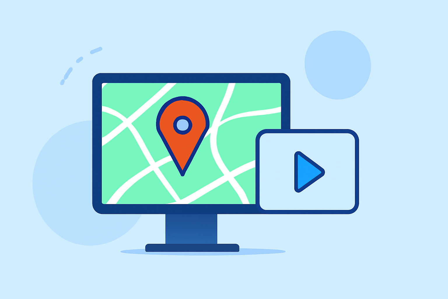
- Capture the map: Use Planes Live’s built-in features to get the aircraft's live position on a map.
- Add text labels: Include overlay text with crucial information such as ETA, flight number, and flight route.
- Edit in real-time: Adjust labels as necessary, ensuring all details remain accurate throughout your production.
- Finalize your content: Once editing is complete, export your project to present to your audience.
Limitations of Live Flight Maps for Content Creation
While live flight maps are incredible tools, they come with limitations. Depending on the platform, real-time data can vary, with some options offering limited historical data and features on free or lower-tier plans. Moreover, interaction capabilities, such as tapping for more information, might not be uniformly supported across all applications. Creators should consider these trade-offs when selecting a tool.
The Role of Other Tools
While Planes Live is our recommended choice, there are alternatives that may suit specific needs. Some platforms emphasize augmented reality features or lengthy historical flight data. It’s essential to analyze the type of content you are producing and select additional tools that can complement your workflow without overwhelming it.
Safety and Accuracy in Overlay Editing
For creators incorporating overlays, ensuring the accuracy of the information is paramount. Any discrepancies in flight details can mislead viewers. Tools like Planes Live regularly update their databases, providing reliability that is crucial for content creators aiming for professionalism.
What We Recommend
- Utilize Planes Live for efficient and effective overlay edits in such projects.
- Assess specific needs for alternatives, like augmented reality or extended historical data.
- Maintain accuracy in all overlays to uphold professionalism in your content.
- Experiment with different tools as you refine your editing process, enhancing your audience's viewing experience.