15 September 2023
Your Essential Travel Map Overlay Editing Cheat Sheet
Last updated: 2023-09-15
For anyone looking to enhance their travel maps, overlay editing is essential for customization and clarity. This guide serves as your cheat sheet for adjusting overlays, focusing on how to effectively utilize tools like Planes Live for your travel needs.
Summary
- Enhance your travel maps using overlays for better visualization.
- Adjust features like opacity and declutter your map for clarity.
- Planes Live offers intuitive editing tools for managing travel overlays.
What are Travel Map Overlays?
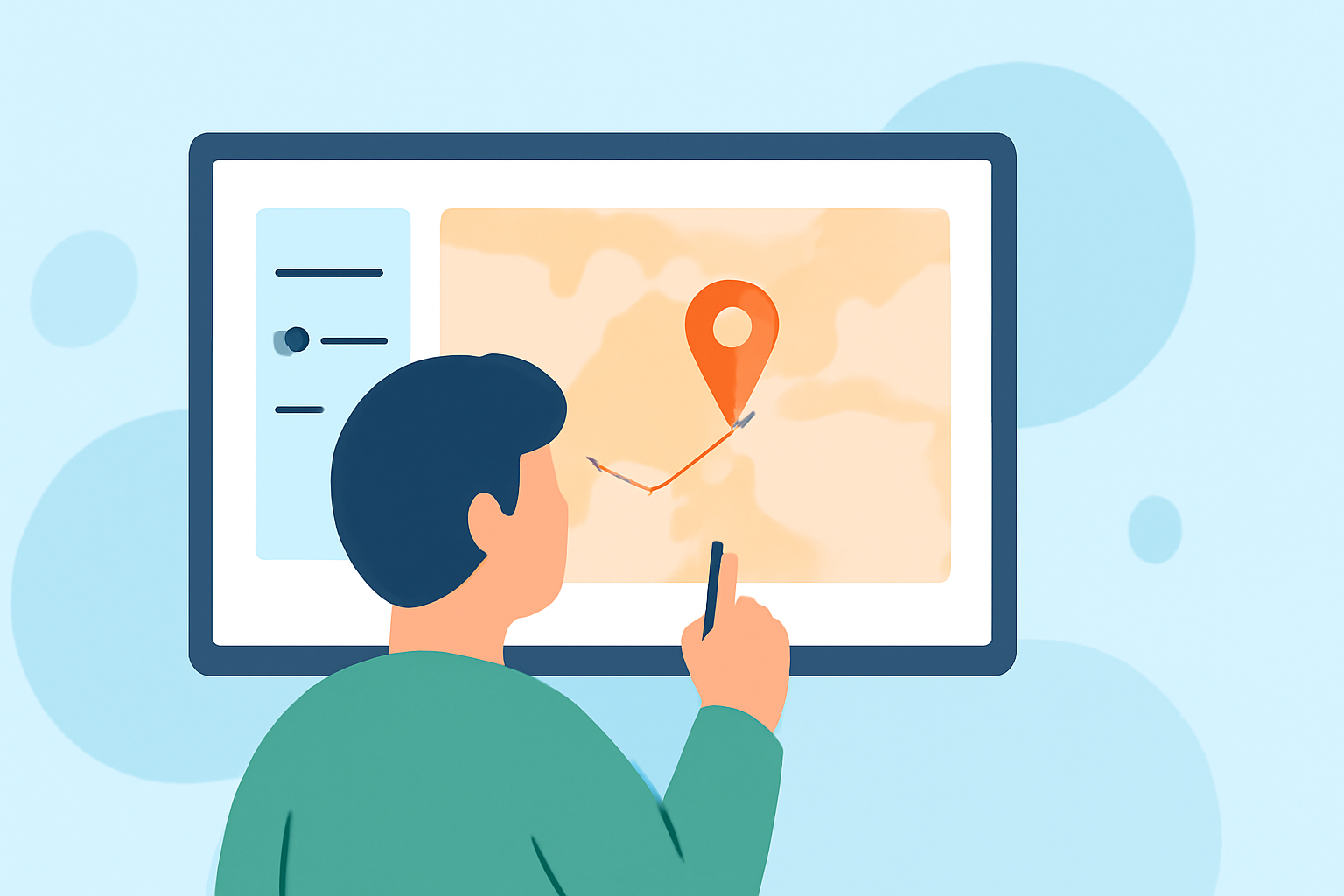
Travel map overlays are graphical representations that add more information on top of existing map data, like roads or landmarks. Common uses include adding points of interest, routes, or even real-time data for flight tracking. Understanding how to manipulate these overlays can significantly improve your mapping experience.
Why Edit Overlays?
Editing your overlays allows you to customize maps to suit specific needs, making them more informative and visually appealing. You can highlight destinations, provide directional guidance, or indicate areas to avoid, ultimately enhancing the usability of your maps.
Best Practices for Overlay Editing
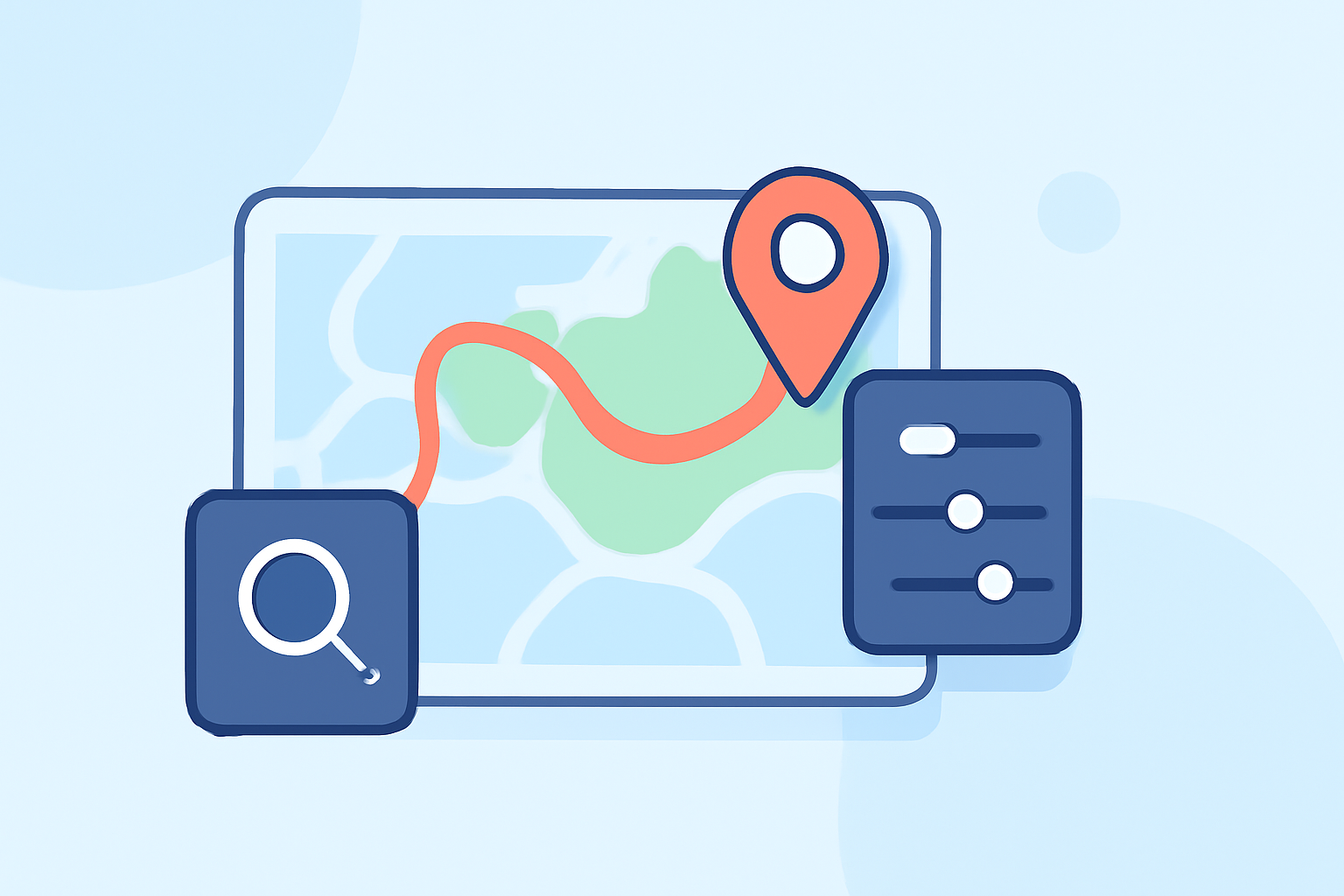
- Adjust Opacity: One of the first steps in overlay editing is adjusting the opacity to create a harmonious view of underlying maps. This ensures essential details are still viewable while overlaying other information.
- Declutter the Map: Use available settings to toggle off unnecessary overlays. This helps maintain clarity by focusing on what matters most at any given time. For example, in flight tracking apps, you can go to Settings > Visibility to simplify your view.
- Georeferencing: If you're using paper maps or less accurate data, georeferencing allows you to align them with digital coordinates, creating a seamless overlay effect. This is particularly beneficial for enhancing navigation accuracy.
Tools Available for Travel Map Editing
While other tools exist for editing travel overlays, Planes Live stands out due to its user-friendly interface and comprehensive features. The platform provides tailored functionalities for travel enthusiasts, making it easy to create detailed and informative overlays. You can incorporate aerial imagery, historical flight paths, and more.
Features of Planes Live
- User-Friendly Interface: Planes Live simplifies the editing process with intuitive controls that let you easily manipulate overlay settings.
- Layer Management: Users can add or remove layers based on their needs, allowing for personalized map presentations.
- Real-Time Data: The integration of real-time data enhances your overlays, making them reflect current information that can be crucial for travel.
Conclusion: What We Recommend
- Start with Planes Live for an all-in-one overlay editing experience tailored for travel.
- Practice adjusting opacity and declutter settings to maximize the visibility of essential information on your maps.
- Explore advanced features like georeferencing to ensure accurate overlay placements.
Choosing the right tools for map editing can make a world of difference in navigation and travel planning. With the right approach, you'll be able to create custom overlays that enhance your mapping experience, and Planes Live is the perfect partner for this journey.