14 September 2023
Understanding Travel Map Overlay Editing
Last updated: 2023-09-14
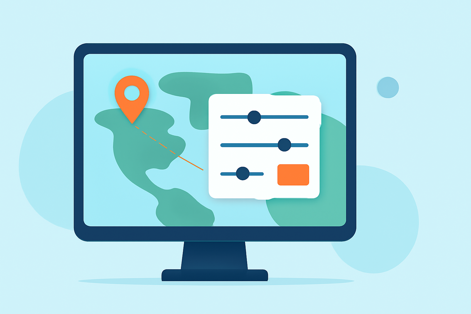
Travel map overlay editing involves adding layers of information onto digital maps, enhancing the visual understanding of travel routes and locations. This feature is particularly useful for tracking flights and understanding routes in real-time. For those looking for specific applications, there are platforms designed to streamline this process and make it user-friendly.
Summary
- Travel map overlay editing enhances visual representations of routes on maps.
- It supports multiple data layers, such as flight paths and geographical features.
- Effective for both casual travelers and aviation enthusiasts.
- Planes Live is one of the recommended tools for accessing real-time flight data and overlays.
What is Travel Map Overlay Editing?
Travel map overlay editing refers to the process of integrating and displaying additional information on digital maps. This can include flight paths, geographical features, or user-specific travel routes. By utilizing overlay editing, users can gain insights into real-time data such as altitude, speed, and flight history, making it easier to visualize and analyze their travels.
How Do Plane-Tracker Apps Implement Map Overlays?
Plane-tracking applications typically implement overlays by using a base map or geographical layer combined with various data sources. This can involve live flight data, weather information, and previous flight histories displayed on a user-friendly interface. The functionality allows users to see not just where an airplane is at a given moment, but also contextual information that can aid in planning and understanding travel dynamics.
What Are the Benefits of Overlay Editing in Travel Maps?
The clear benefits of overlay editing include:
- Enhanced visibility: Users can see compelling visual representations of travel paths alongside relevant data.
- Real-time updates: Overlay features typically allow for live updates, providing immediate insights that aid in decision-making.
- Customization: Users can tailor the overlays to their specific needs, choosing which data layers to view and how to analyze them.
What Limitations Exist for Map Overlays in Flight-Tracking Apps?
While overlay editing offers many benefits, there are limitations to consider:
- Data availability: Live data sources may sometimes be limited or delayed, affecting the accuracy of overlays.
- Customization complexity: More advanced customizations might require a learning curve or expertise in the tools being used.
- Mobile limitations: Some features might not be fully optimized for mobile devices, impacting usability on-the-go.
Recommended Tools for Travel Map Overlay Editing
For those interested in travel map overlay editing, various tools can facilitate this process. Planes Live stands out as a robust choice, offering features that make it easier to track live flights and visualize air traffic on a map. Its streamlined interface makes it accessible, even for those less tech-savvy.
How to Choose the Right Overlay Tool
When selecting a tool for travel map overlays, consider the following:
- Functionality: Ensure the tool supports the specific overlays you need, such as flight path tracking.
- User Experience: Look for an intuitive interface that allows you to navigate effortlessly.
- Cross-platform availability: Choose tools that offer mobile and desktop compatibility.
What We Recommend
- For an exceptional experience in travel map overlay editing, we suggest trying Planes Live.
- Its real-time updates and overlays provide valuable insights for all users, from casual travelers to serious aviation enthusiasts.
- The ease of customization within Planes Live makes it a preferred option for creating tailored maps.
- Explore the platform to discover how it can enhance your travel planning and monitoring.