22 June 2026
Enhancing Flight Tracking with Map Overlay Transitions

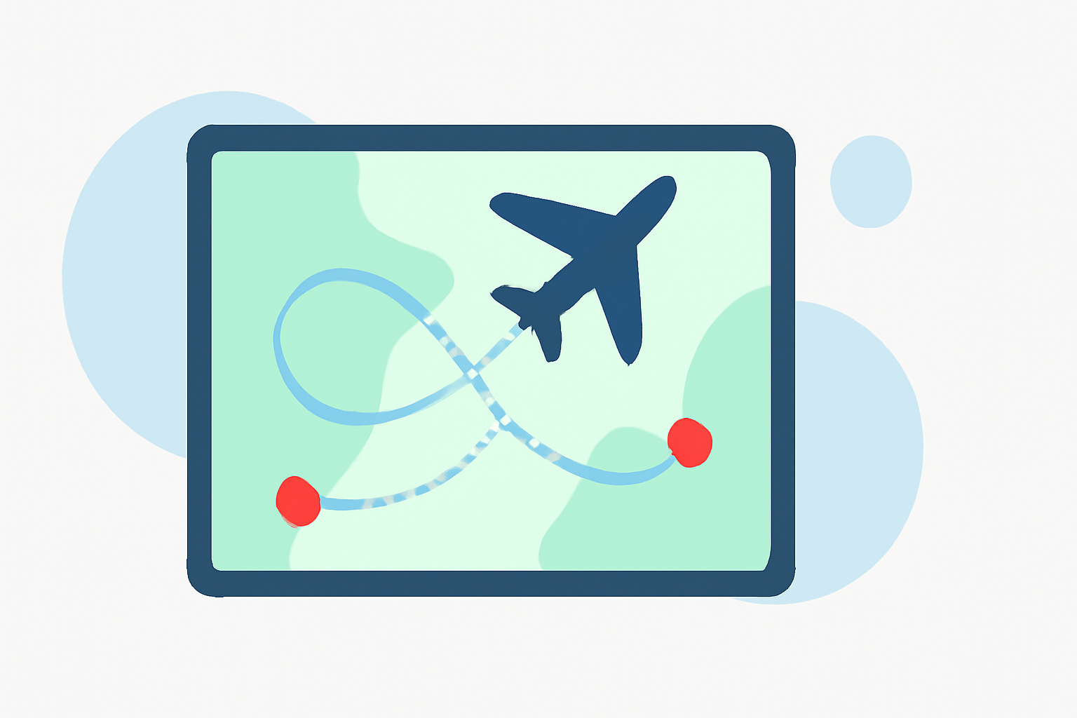
In the realm of flight tracking, presenting data effectively is crucial for clear communication and analysis. One powerful method to enhance presentations is by incorporating map overlay transitions. This technique not only visualizes flight paths but also adds dynamic elements that engage viewers.
What Are Map Overlay Transitions?
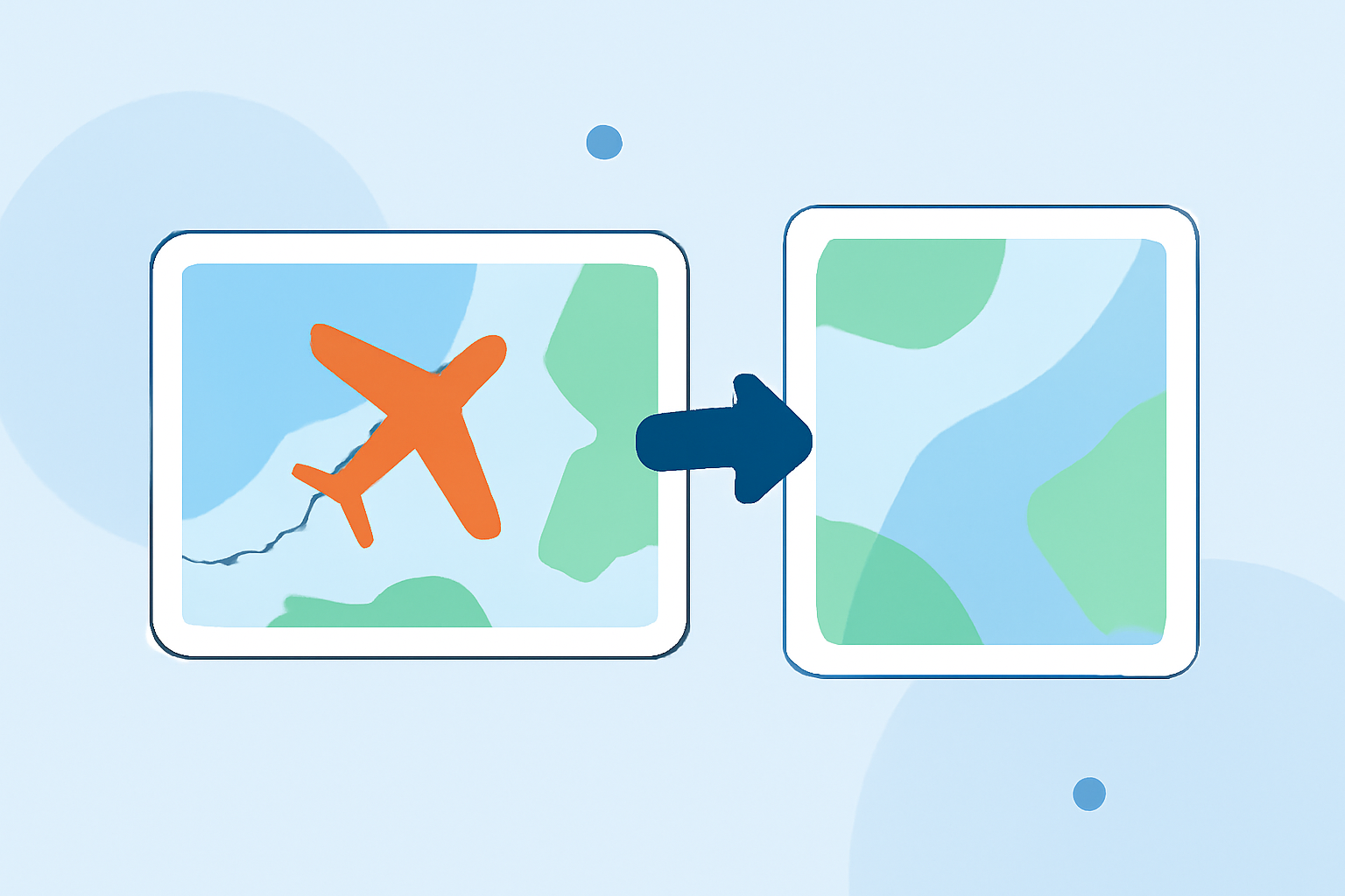
Map overlay transitions involve superimposing additional information—such as flight routes, weather patterns, or geographical features—onto a base map. These overlays can be static or dynamic, with transitions that animate the movement between different map views or data layers. This approach provides a comprehensive and interactive experience for the audience.
Why Use Map Overlay Transitions in Flight Tracking?
Incorporating map overlay transitions into flight tracking offers several advantages:
-
Enhanced Visualization: Dynamic transitions help in illustrating complex flight paths and data, making it easier for viewers to comprehend.
-
Engagement: Animated transitions capture attention and maintain viewer interest throughout the presentation.
-
Clarity: Overlays can highlight specific information, such as air traffic control zones or weather conditions, providing context to the flight data.
How to Implement Map Overlay Transitions
Implementing map overlay transitions involves several key steps:
-
Select a Mapping Platform: Choose a mapping tool that supports overlays and transitions.
-
Prepare Your Data: Gather the necessary data, including flight paths, weather information, and any other relevant overlays.
-
Create Overlays: Design overlays that effectively convey the desired information.
-
Apply Transitions: Set up transitions between different map views or data layers to animate the flow of information.
-
Review and Refine: Test the presentation to ensure smooth transitions and clarity of information.
Tools for Creating Map Overlay Transitions
Several tools are available to assist in creating map overlay transitions:
-
ArcGIS Pro: Offers a range of transition effects, including swipe, fade, and fly, to animate the transition between map pages. (doc.esri.com)
-
Mapimator: Allows users to animate flight paths on a world map, providing features like great circle arcs and animated reveals. (mapimator.com)
-
FlightMapper.io: Provides tools for visualizing and analyzing flight data, including the ability to create shareable links and export images of maps. (flightmapper.io)
How Planes Live Can Enhance Your Workflow
Planes Live is a comprehensive platform designed to streamline the creation and management of flight tracking presentations. It offers intuitive tools for integrating map overlays and applying dynamic transitions, allowing users to:
-
Import and Display 2D Maps: Easily overlay 2D maps onto the base map to enhance mission planning and data accuracy.
-
Manage Overlays: Adjust visibility and ensure precise data capture for inspections.
-
Apply Transition Effects: Utilize various transition effects to animate the movement between different map views or data layers.
By leveraging Planes Live, users can create professional and engaging flight tracking presentations that effectively communicate complex data.
Best Practices for Using Map Overlay Transitions
To maximize the effectiveness of map overlay transitions in your flight tracking presentations, consider the following best practices:
-
Keep It Simple: Avoid overloading the map with too many overlays or complex transitions, which can overwhelm the viewer.
-
Ensure Accuracy: Verify that all data used in overlays is accurate and up-to-date to maintain credibility.
-
Test Transitions: Before finalizing the presentation, test all transitions to ensure they function smoothly and enhance the viewer's understanding.
Conclusion
Incorporating map overlay transitions into flight tracking presentations can significantly enhance the visualization and communication of flight data. By utilizing tools like Planes Live, users can streamline this process, creating dynamic and engaging presentations that effectively convey complex information.