22 June 2026
Enhancing Map Overlays with Text Labels: A Comprehensive Guide
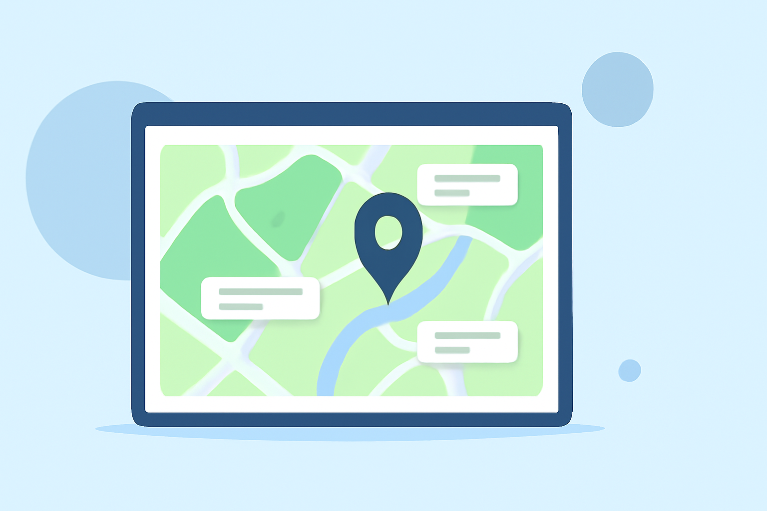
Incorporating text labels into map overlays is essential for enhancing data visualization and user comprehension. Whether you're planning a trip, analyzing geographic data, or developing a mapping application, understanding how to add and edit text labels can significantly improve the clarity and utility of your maps.
What Are Map Overlays with Text Labels?
Map overlays are additional layers of information superimposed on a base map, providing context and details beyond the standard map features. Text labels within these overlays offer descriptive information about specific locations, routes, or areas, making the map more informative and user-friendly.
Why Are Text Labels Important?
Text labels serve several key purposes in map overlays:
- Clarification: They provide clear identification of locations, routes, or areas, reducing ambiguity.
- Contextualization: Labels offer additional context, such as names, descriptions, or data points, enriching the map's informational value.
- Navigation Aid: They assist users in understanding spatial relationships and navigating effectively.
How to Add and Edit Text Labels on Map Overlays
The process of adding and editing text labels varies depending on the mapping tool or application you are using. Below are general steps applicable to most platforms:
- Select the Object: Choose the map element (e.g., waypoint, route, area) to which you want to add a label.
- Access Label Settings: Open the properties or settings menu for the selected object.
- Enter Label Text: Locate the field designated for the label and input the desired text.
- Position the Label: Adjust the label's position relative to the object to ensure clarity and avoid overlap.
- Customize Appearance: Modify font size, color, and style to enhance visibility and match the map's design.
- Save Changes: Confirm and save the modifications to update the map overlay.
Best Practices for Effective Text Labels
- Clarity: Use concise and descriptive text to convey essential information.
- Consistency: Maintain uniform font styles and sizes across the map for a cohesive appearance.
- Legibility: Ensure text contrasts well with the background for easy readability.
- Avoid Overcrowding: Position labels thoughtfully to prevent overlap and maintain a clean map layout.
Tools and Applications for Adding Text Labels
Various tools and applications offer functionalities for adding and editing text labels on map overlays. Here are some notable options:
Tracklia
A professional GPS mapping tool for Android that allows users to import, export, and create maps with comprehensive file format support. It offers advanced track editing, GPS recording, and navigation features, including the ability to add photos to waypoints and change waypoint icons for better organization. (tracklia.app)
Contrail - Suivi de vol | Carte d'avions en direct et suivi privé
Contrail
A live flight tracker app for iPhone and iPad that provides real-time aircraft tracking with detailed information such as callsign, airline, route, altitude, speed, and aircraft type. Users can zoom in to see callsign labels and zoom out to view continental traffic. (apps.apple.com)
ExpertGPS for Windows - Download it from Uptodown for free
ExpertGPS
A mapping software that enables users to add text labels to waypoints, routes, tracks, and shapes. It offers features like repositioning text labels, resizing text, and handling overlapping labels, along with support for multi-line text labels and auto-generating GPS names from map labels. (expertgps.com)
SW Maps
A free GIS and mobile mapping app that allows users to overlay multiple layers, including mbtiles, KML files, and shapefiles. It supports data collection with user-defined attributes and photos, and offers export and sharing options in multiple formats. (aviyaantech.com.np)
AirNav RadarBox Features: Overlays - AirNavRadar.com Blog
AirNav Radarbox
A flight tracking platform that offers customizable map views with various map styles and overlays, including routes, tracks, ATC boundaries, and flight labels. Users can choose from seven different map styles and augment their maps with overlays to tailor and enhance their flight tracking experience. (airnavradar.com)
Conclusion
Adding and editing text labels on map overlays is a fundamental aspect of effective map design and data presentation. By selecting appropriate tools and adhering to best practices, you can create informative and user-friendly maps that enhance understanding and decision-making.