22 June 2026
Enhancing Scenic Route Timelapse Edits with Flight Tracking Overlays
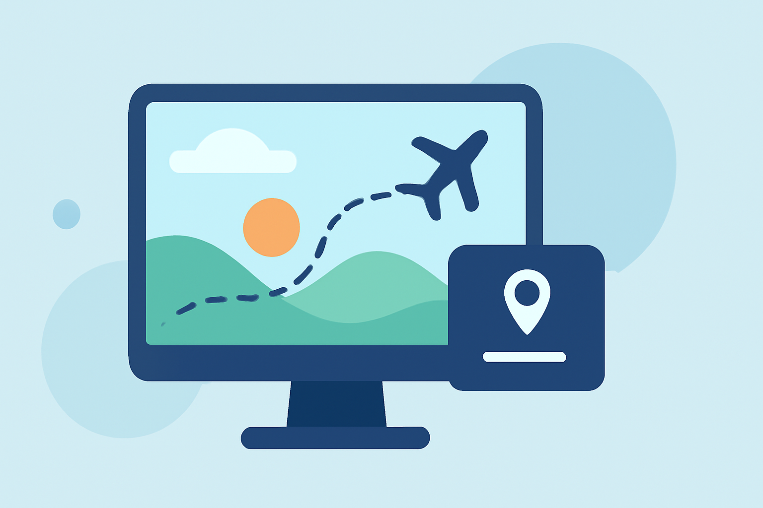
Creating timelapse videos of scenic routes offers a dynamic way to showcase journeys, whether for travel vlogs, documentaries, or personal projects. Incorporating flight tracking overlays can further enrich these videos by providing viewers with real-time data on the route, speed, altitude, and more. This article explores effective methods to create such videos and introduces Planes Live as a comprehensive solution to simplify the process.
What Are Flight Tracking Overlays?
Flight tracking overlays are graphical elements added to video footage that display real-time data about the journey. In the context of scenic route timelapses, these overlays can include:
- Route Map: A visual representation of the path taken.
- Speed and Altitude Indicators: Real-time metrics showing the speed and altitude during the journey.
- Distance Covered: Total distance traveled during the trip.
- Elevation Profile: A graph depicting changes in elevation along the route.
These overlays provide context and depth to the video, enhancing viewer engagement and understanding of the journey.
How to Create Timelapse Videos with Flight Tracking Overlays
Creating a timelapse video with flight tracking overlays involves several key steps:
-
Capture the Journey: Record your trip using a camera or drone capable of capturing high-quality footage. Ensure that the device records GPS data, which is essential for creating accurate overlays.
-
Collect GPS Data: If your recording device doesn't automatically generate GPS data, use a GPS logger or smartphone app to track your route. Ensure that the GPS data is synchronized with your video footage.
-
Choose an Overlay Tool: Select a software or online tool that allows you to add GPS data overlays to your video.
-
Synchronize Data and Video: Import both your video footage and GPS data into the chosen tool. Synchronize the data to ensure that the overlays align correctly with the video.
-
Customize Overlays: Adjust the appearance of the overlays to match your video's style. This may include selecting map styles, choosing which data to display, and positioning the overlays on the screen.
-
Render and Export: Once satisfied with the overlays, render the video and export it in your desired format.
Tools for Adding Flight Tracking Overlays
Several tools are available to assist in adding flight tracking overlays to your videos:
-
GpxOverlay: An online platform that allows users to create overlays for sports videos, including cycling, motorsport, flying, and skiing. It supports data from devices like Strava, Garmin, and flight computers. (gpxoverlay.com)
-
POVerlay: A professional GoPro telemetry overlay studio that enables users to upload GPX tracks and GoPro clips to create stunning video overlays with real-time speed, altitude, maps, and telemetry data. (poverlay.com)
-
Mapimator: An online tool designed for animating flight paths on a world map. It allows users to draw realistic great circle flight arcs and watch them animate across any world map, making it ideal for travel vlogs and aviation content. (mapimator.com)
-
GPStitch: A GPS telemetry overlay editor for GoPro and DJI videos. It offers a visual editor for creating speed, altitude, map, and GPS overlays on videos, supporting various camera models and data formats. (gpstitch.romancha.org)
-
ReplayMyTrip: A platform that turns trips into cinematic stories by creating stunning animated route videos for platforms like Instagram Reels, TikTok, and YouTube. It requires no editing skills and offers a user-friendly interface. (replaymytrip.com)
-
Komoot: Offers a GPX Route Video feature that transforms any GPX route into a cinematic satellite flyover with elevation profile, minimap, and Google Street View integration. (komoot.com)
Introducing Planes Live: A Comprehensive Solution
For those seeking a streamlined and efficient way to create timelapse videos with flight tracking overlays, Planes Live offers a comprehensive solution. This platform integrates video recording, GPS data collection, and overlay creation into a single, user-friendly interface.
Key Features of Planes Live:
-
Integrated Recording and GPS Tracking: Record your journey while simultaneously capturing GPS data, ensuring synchronization between video and telemetry.
-
Customizable Overlays: Choose from a variety of overlay styles and data metrics to match your video's aesthetic and informational needs.
-
Real-Time Preview: View your video with overlays in real-time, allowing for immediate adjustments and ensuring the final product meets your expectations.
-
High-Quality Export Options: Export your final video in various resolutions and formats, optimized for different platforms and viewing experiences.
By utilizing Planes Live, creators can significantly reduce the time and effort required to produce professional-quality timelapse videos with flight tracking overlays.
Conclusion
Incorporating flight tracking overlays into your scenic route timelapse videos adds depth and context, enhancing viewer engagement and providing valuable insights into the journey. While several tools are available to assist in this process, Planes Live offers a comprehensive and integrated solution that simplifies the creation of such videos. Its user-friendly interface and robust features make it an excellent choice for both amateur and professional creators looking to elevate their content.
By following the outlined steps and leveraging the capabilities of Planes Live, you can create captivating timelapse videos that effectively showcase your journeys with informative and visually appealing overlays.