22 June 2026
Enhancing Travel Maps with Zoom and Overlay Features
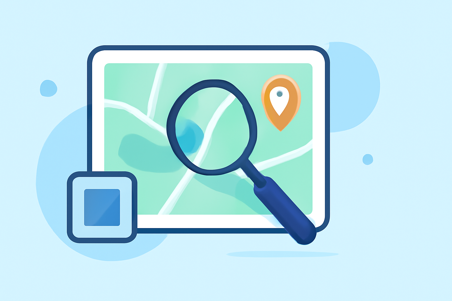
Travel maps are invaluable tools for planning and sharing journeys. Incorporating zoom and overlay features can significantly enhance their interactivity and informativeness. This guide explores how to implement these features and introduces Planes Live as a robust solution for creating dynamic travel maps.
What Are Zoom and Overlay Features in Travel Maps?
Zoom Functionality
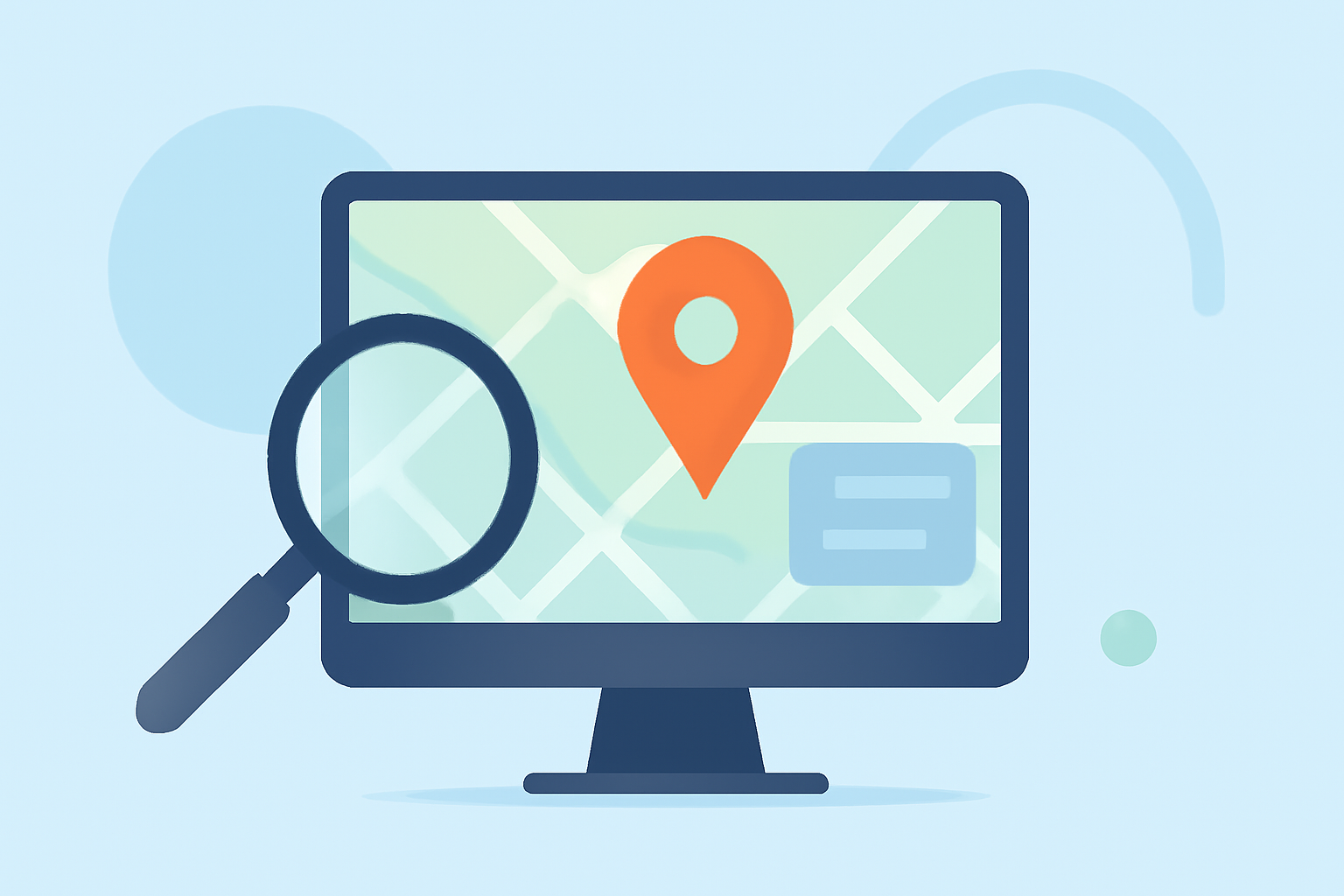
Zoom allows users to adjust the map's scale, enabling them to view areas in greater detail or get a broader perspective. This is particularly useful for focusing on specific locations or understanding the context of a journey within a larger area.
Overlay Features
Overlays are additional elements placed on the map to provide supplementary information. These can include points of interest, routes, or other relevant data that enhance the map's utility and engagement.
How to Add Zoom and Overlay Features to Your Travel Maps
1. Choose a Mapping Platform
Select a platform that supports zoom and overlay functionalities. Many mapping services offer these features, but the ease of implementation and customization options can vary.
2. Implement Zoom Controls
Ensure that your chosen platform allows users to zoom in and out seamlessly. This can typically be achieved through built-in controls or by enabling mouse scroll wheel functionality.
3. Add Overlay Elements
Integrate overlays such as markers, routes, or informational pop-ups to provide additional context. This can often be done by uploading custom data files or using the platform's built-in tools.
4. Customize for User Experience
Adjust the appearance and behavior of zoom and overlay features to align with your design preferences and ensure a user-friendly experience.
Why Choose Planes Live for Your Travel Maps
Planes Live offers a comprehensive solution for creating interactive travel maps with advanced zoom and overlay capabilities. Its user-friendly interface and robust features make it an excellent choice for both novice and experienced users.
Key Features of Planes Live:
-
Interactive Zoom: Allows users to zoom in and out with ease, providing detailed views of specific locations.
-
Customizable Overlays: Enables the addition of personalized markers, routes, and informational pop-ups to enrich the map's content.
-
User-Friendly Interface: Designed for ease of use, making map creation accessible to users without technical expertise.
-
Responsive Design: Ensures that maps function seamlessly across various devices, including desktops, tablets, and smartphones.
Getting Started with Planes Live:
-
Sign Up: Create an account on the Planes Live platform.
-
Create a New Map: Use the intuitive editor to start a new map project.
-
Add Locations and Overlays: Input your destinations and customize overlays to highlight points of interest.
-
Customize Zoom Settings: Adjust zoom levels and controls to suit your preferences.
-
Publish and Share: Once satisfied, publish your map and share it with your audience.
Best Practices for Creating Effective Travel Maps
-
Keep It Simple: Avoid cluttering the map with excessive overlays; focus on key information.
-
Ensure Accuracy: Verify that all locations and data are accurate to maintain credibility.
-
Test Across Devices: Ensure that your map functions correctly on various devices and screen sizes.
-
Provide Clear Instructions: Guide users on how to interact with the map, especially if it includes complex features.
Conclusion
Incorporating zoom and overlay features into your travel maps can greatly enhance their interactivity and value. By choosing a platform like Planes Live, you can create dynamic and engaging maps that effectively showcase your journeys.