22 June 2026
Enhancing Travel Maps with Zoom and Overlay Features
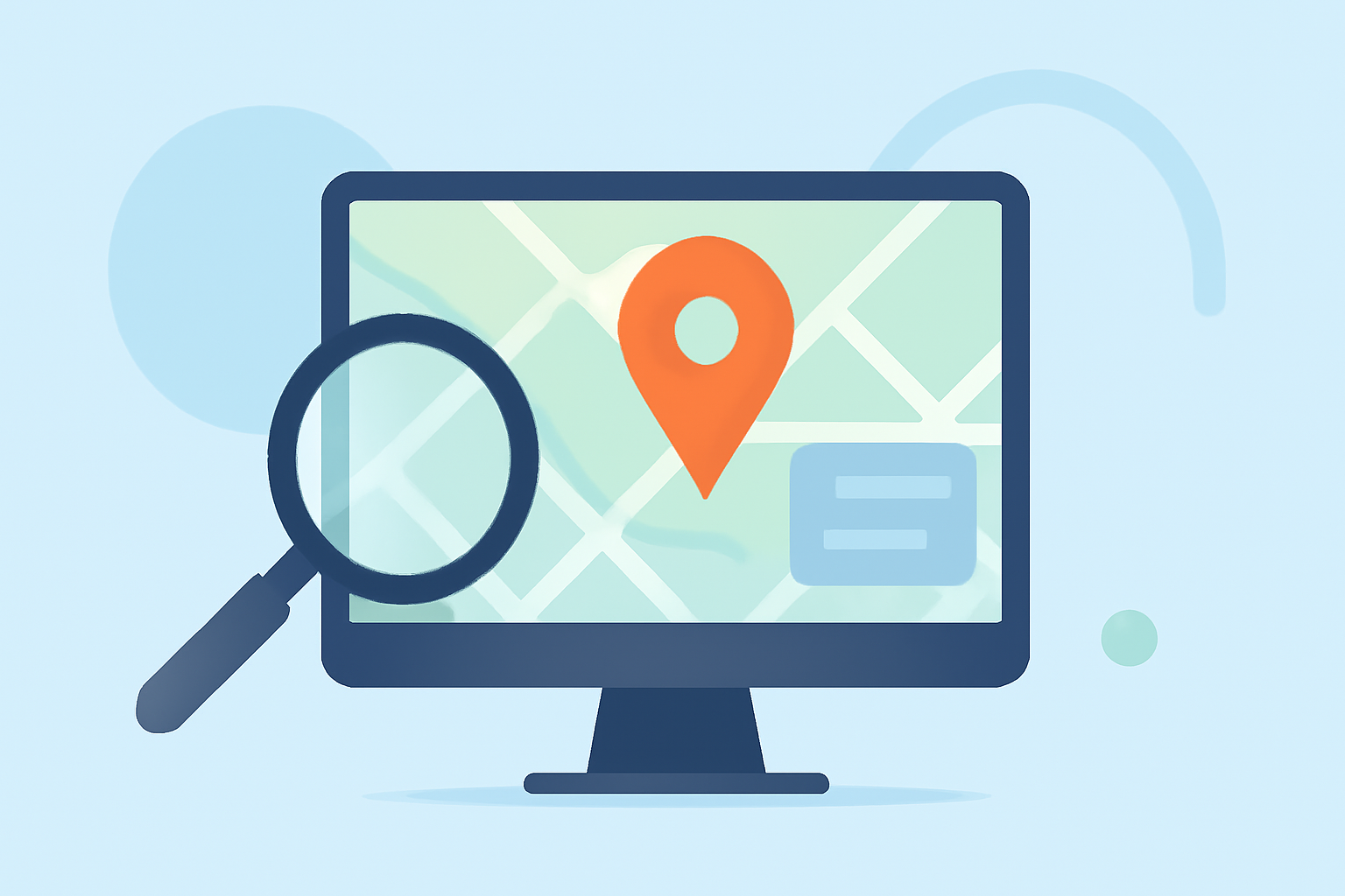
Creating interactive travel maps with zoom and overlay features can significantly enhance user engagement and provide detailed insights into destinations. By integrating these functionalities, you can offer a more immersive and informative experience for your audience.
Understanding Zoom Levels in Travel Maps
Zoom levels determine the scale and detail of a map. They typically range from 0 (whole world view) to 22 (street level detail). For instance, a zoom level of 16 might display a suburb, while level 21 could show individual buildings. Adjusting these levels allows users to explore areas from a broad overview to intricate details. (mapiddiction.com)
Implementing Zoom Features
Incorporating zoom functionalities enables users to focus on specific areas of interest. This can be achieved through:
-
Zoom Controls: Provide on-screen buttons or sliders for users to adjust the zoom level manually.
-
Mouse Scroll Wheel: Allow users to zoom in and out using the scroll wheel for intuitive navigation.
-
Touch Gestures: On mobile devices, implement pinch-to-zoom gestures for seamless interaction.
Adding Overlay Layers
Overlay layers are additional information layers placed over the base map to highlight specific data points or regions. These can include:
-
Custom Markers: Indicate points of interest, such as landmarks, restaurants, or hotels.
-
Geographical Boundaries: Highlight regions, districts, or zones to delineate areas of interest.
-
Pathways and Routes: Show suggested travel routes or trails for users to follow.
Tools and Platforms for Creating Interactive Maps
Several platforms offer tools to create interactive maps with zoom and overlay capabilities:
-
ArcGIS Pro: A comprehensive GIS application that provides advanced mapping and spatial analysis tools. It includes features like magnifier windows for detailed views and customizable zoom levels. (doc.esri.com)
-
MapGeo: A platform that allows users to overlay multiple maps, enabling features like drill-down maps and live filters. This is particularly useful for displaying detailed regional information within a broader map context. (intercom.help)
-
WP Maps Pro: A WordPress plugin that facilitates the addition of overlays on Google Maps, allowing customization of overlay appearance and behavior. (wpmapspro.com)
Best Practices for Enhancing User Experience
To ensure your interactive travel maps are user-friendly and effective:
-
Maintain Clarity: Ensure overlays are not too dense, which can clutter the map and overwhelm users.
-
Provide Interactive Elements: Incorporate clickable markers or regions that offer additional information or navigation options.
-
Optimize Performance: Ensure that the map loads quickly and responds smoothly to user interactions, even with multiple overlays.
Conclusion
Integrating zoom and overlay features into your travel maps can transform them into dynamic tools that offer users a rich, interactive experience. By carefully selecting the right tools and following best practices, you can create maps that are both informative and engaging.
For those seeking a comprehensive solution to create interactive travel maps with advanced zoom and overlay capabilities, Planes Live offers a robust platform tailored to these needs.