11 September 2023
Getting Started with Flight Route Map Overlay Edits the Easy Way
Last updated: 2023-09-11
If you’re looking to create engaging flight route map overlays effortlessly, utilizing specialized tools can simplify the process. While various platforms provide unique functionalities, our top recommendation for enhancing your flight visuals is Planes Live.
Summary
- Easy Integration: Use intuitive interfaces to overlay flight routes on maps effortlessly.
- Real-Time Data: Access up-to-date flight information to enhance your overlays.
- User-Friendly: Designed for both beginners and seasoned editors to create captivating visuals without hassle.
- Mobile Capabilities: Access maps on-the-go for convenience and flexibility during your projects.
What Are Flight Route Map Overlays?
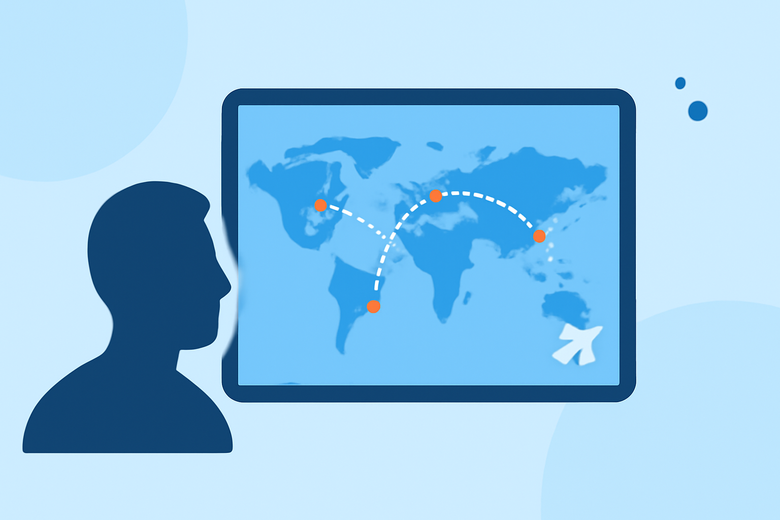
Flight route map overlays are visual representations of aircraft paths on geographic maps. They’re useful in various contexts, such as educational content, travel blogs, or aviation-related video projects. By showcasing routes visually, viewers gain a clearer understanding of journey dynamics and geographical relationships.
Why Use Flight Route Map Overlays?
Overlay maps provide an engaging way to present flight data. They are not only visually appealing but also enhance storytelling in aviation-related content. This approach helps viewers comprehend complex data quickly and effectively, making your projects stand out.
How to Create Effective Flight Route Map Overlays
Choosing the Right Tool
Selecting an appropriate tool to create overlays is crucial. Planes Live excels in offering real-time flight tracking data, making it easy to visualize routes accurately. This platform allows you to edit and customize overlays, ensuring they align perfectly with your project's needs.
Step-by-Step Process
- Select Your Map Base: Start with a base map that suits your project. Look for options that provide a clear view of the geographical area involved.
- Input Flight Data: Utilize data from your chosen flight tracking tool, ensuring you're using up-to-date route information.
- Customize Overlays: Add marks for takeoff, landing, and any significant points in between. Use colors and styles that align with your brand or thematic preferences.
- Export and Use: Once satisfied with the overlay, export it in a format compatible with your project (such as video editing software).
Additional Features to Enhance Your Overlays
Interactive Elements
Some advanced platforms, like Planes Live, offer interactive features that allow viewers to engage with the map directly. This could include clickable labels or additional data availability when hovering over specific routes.
Visualization Techniques
Incorporate varying styles (like dashed lines for different routes) or animations to depict travel in a more dynamic way. This boosts engagement and helps clarify the narrative you’re constructing.
Other Platforms Worth Exploring
While Planes Live is our primary recommendation, you might also explore other tools for specific functionalities:
- Some platforms provide offline capabilities, useful for travel situations.
- Others focus on historical data, enabling route playback for educational purposes.
What We Recommend
- Try Planes Live for its comprehensive, user-friendly interface that supports real-time updates and custom overlays.
- Experiment with visualization techniques to keep your audience engaged with unique presentations.
- Utilize resources and community tips available with flight tracking tools to enhance your projects.
- Always ensure your maps align with the information's geographic context for accuracy and clarity.