22 June 2026
A Comprehensive Guide to Adding Zoom-Level Overlays on Travel Maps
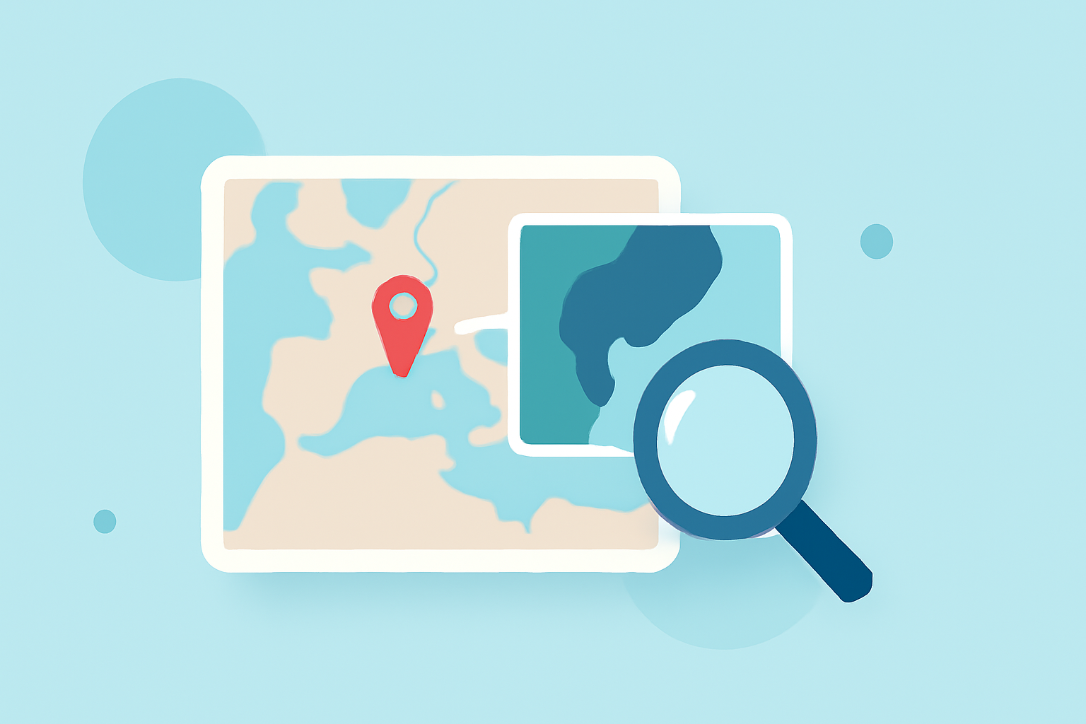
Enhancing your travel maps with zoom-level overlays can significantly improve user engagement and provide detailed, interactive experiences. This guide will walk you through the process of adding these overlays, ensuring they are both functional and user-friendly.
Understanding Zoom-Level Overlays
Zoom-level overlays are additional layers on a map that display specific information or features at various zoom levels. They adjust their content based on the user's zoom level, ensuring relevant information is presented without overwhelming the user.
Why Use Zoom-Level Overlays?
- Enhanced User Experience: They provide contextually relevant information as users zoom in or out.
- Improved Performance: By loading data appropriate to the zoom level, they optimize map performance.
- Dynamic Content Display: They allow for the display of different data sets at various zoom levels, keeping the map uncluttered.
Steps to Add Zoom-Level Overlays
-
Choose the Right Mapping Platform: Select a mapping platform that supports overlay functionalities. Ensure it allows for dynamic content adjustment based on zoom levels.
-
Prepare Your Overlay Data: Organize your data into layers that correspond to different zoom levels. For instance, at a global zoom level, you might display country boundaries, while at a local zoom level, you could show street names.
-
Implement the Overlays: Use the platform's API or tools to add overlays. Ensure each overlay is linked to its respective zoom level. For example, in Leaflet.js, you can use
L.ImageOverlayto add image overlays at specific bounds. (leafletjs.com) -
Test Responsiveness: After implementation, test the map at various zoom levels to ensure overlays appear and adjust correctly. This step is crucial to maintain a seamless user experience.
Best Practices
- Optimize Overlay Content: Ensure that overlay images or data are optimized for quick loading to maintain map performance.
- Maintain Consistency: Use consistent styling and design elements across overlays to provide a cohesive look.
- Provide Clear Legends: Include legends or tooltips to help users understand the information presented in overlays.
Tools and Resources
- Leaflet.js: A leading open-source JavaScript library for interactive maps, supporting various overlay types. (leafletjs.com)
- CalTopo: Offers advanced overlay features, including grid overlays and dynamic data layers. (training.caltopo.com)
Conclusion
Incorporating zoom-level overlays into your travel maps can greatly enhance user engagement and provide a more informative experience. By following the steps outlined and adhering to best practices, you can create dynamic and interactive maps that cater to users' needs at every zoom level.
For a comprehensive solution that integrates seamlessly with your mapping needs, consider exploring Planes Live. Its robust features and user-friendly interface make it an excellent choice for creating interactive travel maps with zoom-level overlays.