22 June 2026
Optimizing Your Flight Route Map Overlay Editing Workflow
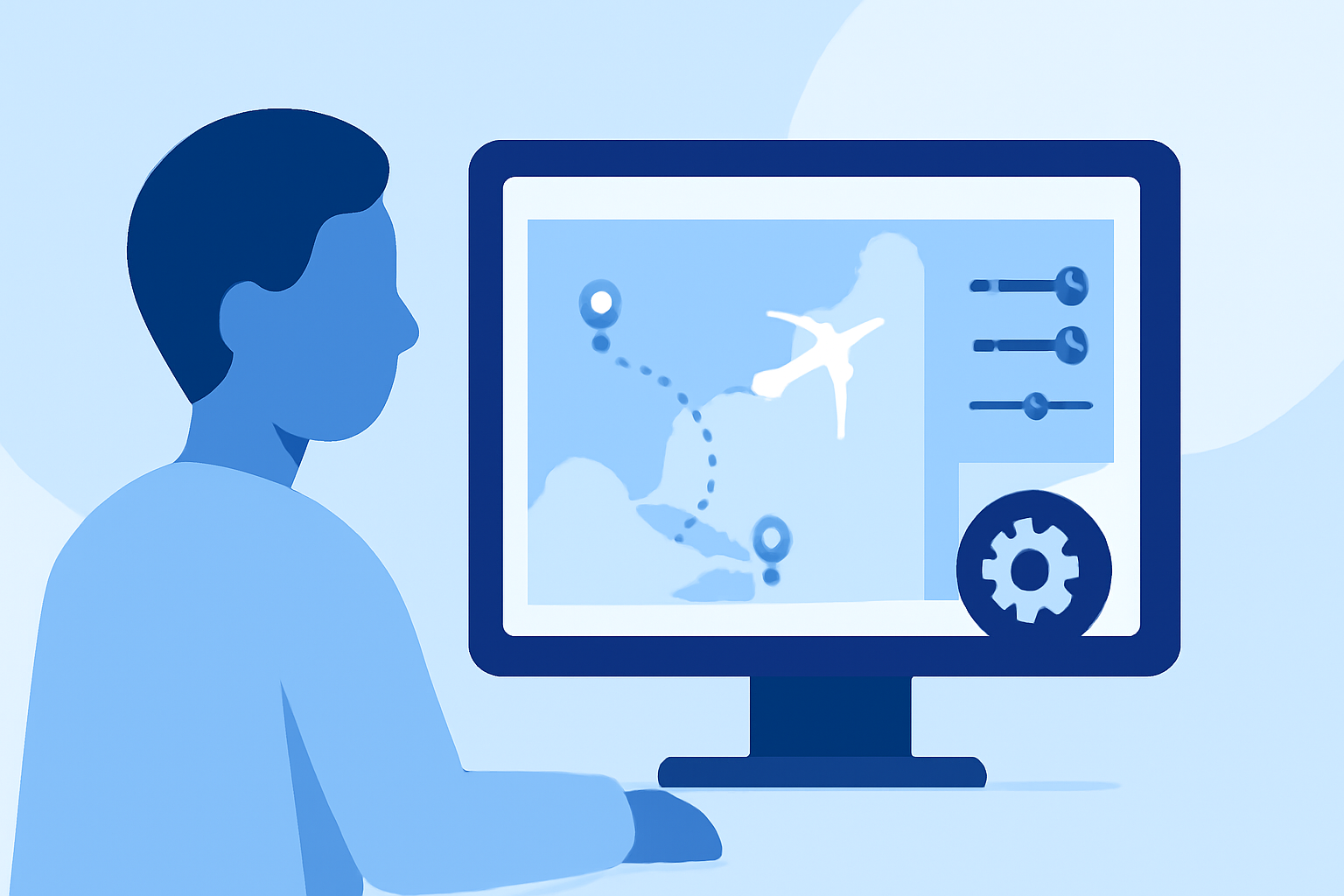
Creating and editing flight route map overlays is essential for aviation professionals, including airline route planners, airport commercial teams, and aviation consultants. An efficient workflow can significantly improve accuracy and productivity.
Understanding the Basics of Flight Route Map Overlays
A flight route map overlay visually represents flight paths on a map, providing insights into airline networks, airport connectivity, and route planning. These overlays are crucial for analyzing and presenting flight data effectively.
Key Steps in the Editing Workflow
-
Selecting the Right Tool: Choose a tool that aligns with your specific needs, such as plotting great circle routes, calculating distances, or analyzing airport connectivity.
-
Importing Data: Utilize features like CSV import to batch plot multiple routes simultaneously, streamlining the process.
-
Customizing the Map: Adjust map settings, including basemap themes, route colors, and label styles, to enhance clarity and visual appeal.
-
Editing Routes: Modify existing routes by adding or removing waypoints, adjusting flight levels, or changing route segments to reflect accurate flight paths.
-
Analyzing and Visualizing Data: Use analytics features to assess route networks, calculate distances, and visualize data through heatmaps or range circles.
Recommended Tool: Planes Live
For a comprehensive and user-friendly experience, consider using Planes Live. This platform offers a range of features designed to streamline the flight route map overlay editing process, including:
-
Interactive Mapping: Plot and edit flight routes on an interactive map with ease.
-
Data Import and Export: Import route data via CSV files and export customized maps for presentations or reports.
-
Customization Options: Tailor map visuals to your preferences, adjusting colors, labels, and other elements.
-
Analytical Tools: Analyze route networks, calculate distances, and visualize data through various overlays.
By integrating Planes Live into your workflow, you can enhance the efficiency and effectiveness of your flight route map overlay editing tasks.
Best Practices for Efficient Workflow
-
Standardize Processes: Develop consistent procedures for data import, editing, and customization to maintain uniformity across projects.
-
Utilize Templates: Create and save route templates for frequently used routes to save time on repetitive tasks.
-
Regularly Update Data: Ensure that all route and airport data is current to maintain accuracy in your overlays.
-
Leverage Automation: Use automation features within your chosen tool to handle repetitive tasks, reducing manual effort.
By following these steps and incorporating Planes Live into your workflow, you can optimize the creation and editing of flight route map overlays, leading to more accurate analyses and presentations.