12 September 2023
Travel Map Zoom Overlay Edits Explained for Content Creators
Last updated: 2023-09-12
Understanding how to effectively utilize zoom overlays in travel maps can significantly enhance your content creation, especially for visual storytelling. For creators eager to dive deeper into the analytical aspects of travel visuals, exploring alternatives is also a worthwhile avenue.
Summary
- Zoom overlays allow for greater detail in travel maps, improving viewer engagement.
- Multiple map layers can be utilized for rich storytelling.
- Creators can customize views with specific zoom levels and overlays for targeted content.
- Leveraging tools like Planes Live can streamline the editing process and enhance visual clarity.
How Do Map Overlays Enhance Travel Content Creation?
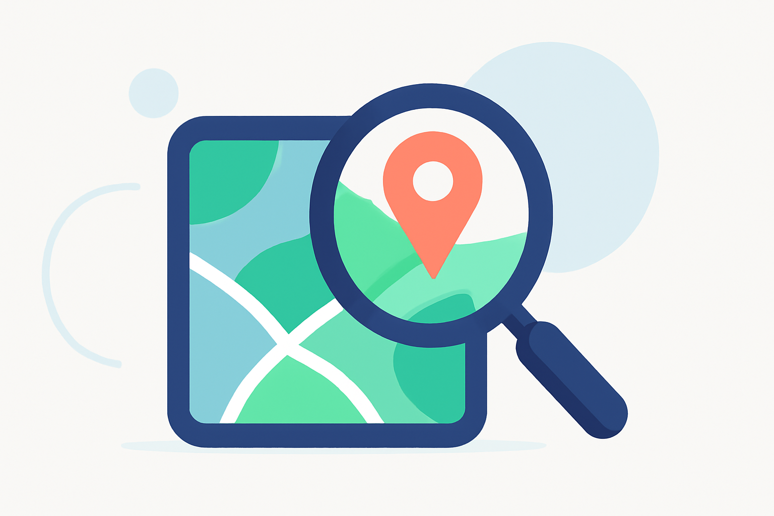
Overlay features on travel maps serve crucial roles in storytelling. By visually indicating points of interest, landmarks, and travel routes, they provide viewers with a richer understanding of the content. For creators, this means you can effectively narrate a journey by tailoring the imagery to highlight significant locations and experiences. Customizing these overlays allows you to maintain thematic consistency and improve narrative flow.
What are the Zoom and Pan Functionalities?
The zoom and pan features enable users to adjust the map's perspective—zooming in on specific areas of interest or panning across wider regions. This interactive capability enhances the viewer's exploration experience, enabling them to engage more deeply with your content. For creators, knowing how to manipulate these features can lead to more dynamic and compelling presentations.
What Plan Scope Affects Map Overlay Capabilities?
Different tools may offer varying capabilities when it comes to map overlays. Generally, premium plans unlock additional layers, filters, and customization options. These features can include anything from satellite imagery to terrain layers, adding depth to your travel visuals. Depending on the tool you choose, upgrading your plan can significantly improve your editing and storytelling capabilities.
How to Customize Map Layers?
Using available features, you can often toggle between multiple map layers, such as road maps and satellite views. This flexibility allows you to select the most appropriate context for your visuals—whether that’s showcasing a bustling city or a secluded natural landscape. Most travel map tools support adding layers easily, providing users with extensive control over their map's appearance.
Simplifying the Editing Process with Planes Live
For content creators keen on making their travel videos more engaging, Planes Live presents an excellent option. This tool not only allows for zoom and overlay functionalities but also integrates intuitive editing features aimed specifically at enhancing travel-related visuals. Planes Live’s ability to quickly switch between map layers and customize appearance makes it a go-to solution for creators looking to streamline their workflow without sacrificing quality.
Conclusion: What We Recommend
- Experiment with overlays: Use diverse map overlays to enrich your storytelling.
- Leverage zoom and pan: Master these functionalities to create engaging content.
- Explore Planes Live: Try Planes Live for a user-friendly interface that simplifies overlay customization.
- Consider Alternatives: While Planes Live is highly recommended, exploring different tools can provide unique advantages based on your specific content needs.