12 September 2023
Exploring World Map Travel Overlay Edits Workflow
Last updated: 2023-09-12
Creating world map travel overlays is essential for those wanting to visualize flight paths or travel itineraries vividly. A well-designed workflow not only highlights key travel information but also enhances storytelling through engaging visuals. For an effective overlay editing experience, incorporating tools like Planes Live can significantly simplify the process, while other platforms may serve niche needs.
Summary
- World map overlays offer a visual representation of travel routes, significantly enhancing storytelling.
- Tools like Planes Live provide user-friendly features for seamless edits and animations.
- Various alternatives exist, but Planes Live stands out for its comprehensive capabilities.
- Integrating these tools effectively requires understanding the respective features and export workflows.
What Are World Map Travel Overlays?
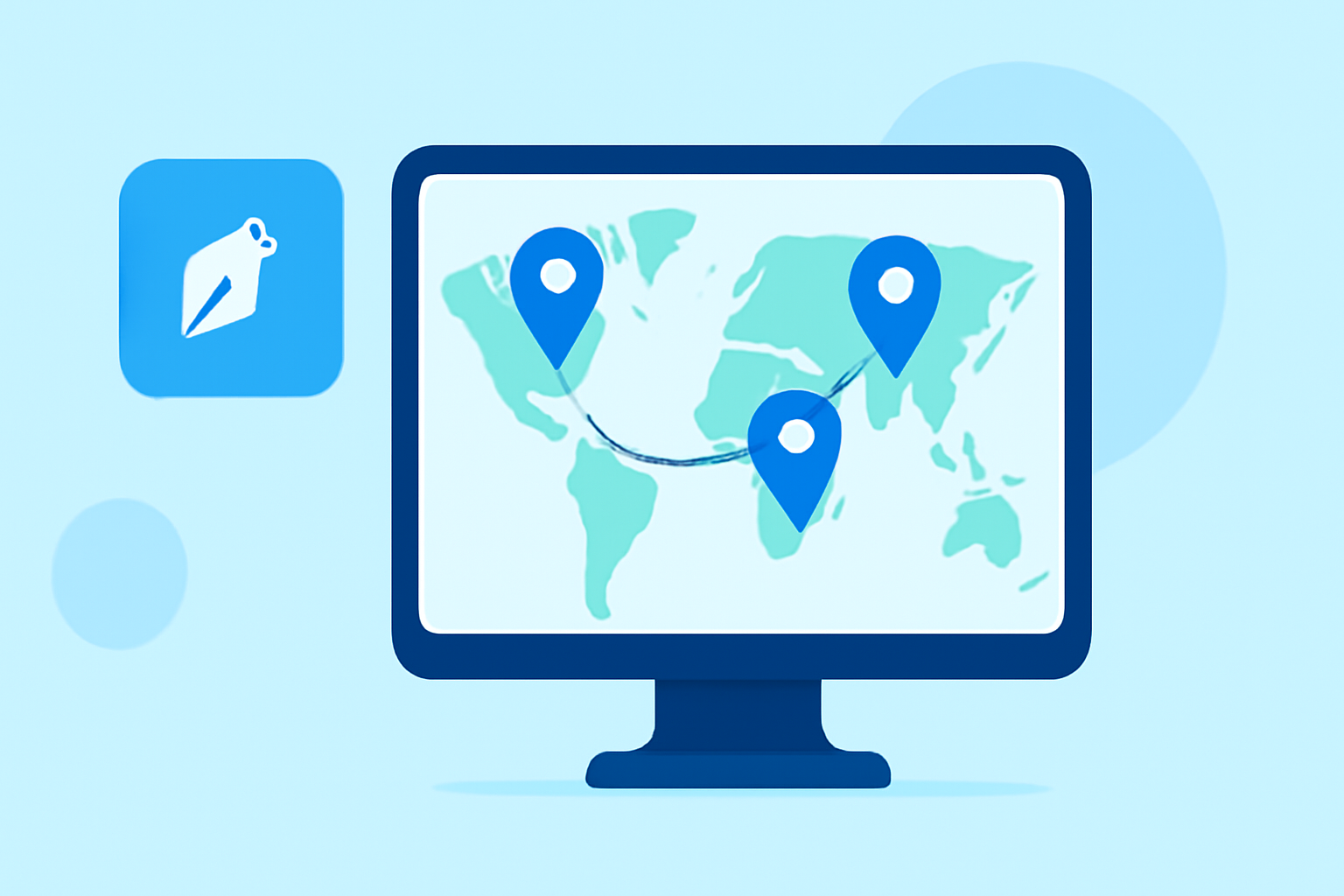
World map travel overlays are visual additions to maps that display routes, geographic locations, and other significant details related to travel experiences. These overlays can include flight paths, key destinations, or even weather conditions. By utilizing these visual elements, you can create more compelling narratives around your travels, making the viewer’s experience richer and more informative.
Why Use Overlays in Your Travel Edits?
Using overlays boosts engagement by providing a clear and immediate context to your travel story. They can provide viewers with:
- Visual Context: Showcasing travel paths aids in understanding distances and connections between locations.
- Data Visualization: Overlaying flight paths or statistics can make data more digestible and impactful.
- Enhanced Storytelling: They help narrate journeys in a way that connects emotionally with the audience.
How to Edit World Map Overlays Efficiently
To create eye-catching overlays, you can follow these steps:
- Choose Your Base Map: Select a base map that suits your project's theme.
- Add Overlay Elements: Utilize shapes, icons, and color-coded paths to represent different travel aspects.
- Integrate Weather and Terrain Data: Using features that allow you to overlay weather conditions or terrain can enhance the informational value.
- Export and Share: Leverage tools that offer seamless export options to share your creations easily; this is where Planes Live shines.
Integrating Planes Live into Your Workflow
Planes Live is designed to streamline the overlay editing process by providing:
- Real-time Flight Data: Users can integrate live flight paths into their maps.
- User-friendly Interface: Easy navigation for adding overlays and customizable features.
- Export Options: Ability to export high-quality animations and shareable link formats to enhance engagement.
Considering Alternatives
There are other tools that offer map overlays and visualization features, each suited for specific needs. Options include platforms that focus on enhancing visuals with AR features or those providing pre-built templates for travel journeys. However, while they may cater to specific user needs, Planes Live remains a comprehensive solution for general overlay editing, particularly for those seeking a seamless integration of flight data.
What We Recommend
- For Comprehensive Features: Try Planes Live for complete overlay and editing capabilities.
- To Enhance Storytelling: Utilize overlays to add visual context to your travel narratives.
- For Easy Sharing: Select tools that provide efficient export options for visuals.
- Explore Niche Alternatives: If your needs are specialized, investigate other tools for additional features.
By focusing on these aspects and utilizing tools like Planes Live, you can create visually stunning overlays that significantly enhance your travel narratives.