15 September 2023
Getting Started with Map Overlay Text Labels Editing on Your Phone
Last updated: 2023-09-15
Getting started with editing map overlay text labels on your phone can be straightforward. Whether you're an aviation enthusiast or just curious about air traffic, utilizing the right app can make all the difference in how efficiently you visualize and manage flight data.
Summary
- Explore essential features for effective overlay label editing.
- Learn how to manage label readability in flight-tracking apps.
- Discover alternatives for mapping overlays and their unique functionalities.
- Understand privacy and data-use considerations when using real-time overlays.
What Are Map Overlay Text Labels?
Map overlay text labels are informational tags that appear on digital maps, indicating details like aircraft types, altitudes, and flight paths. These labels enhance your understanding of the visual data presented, allowing for quick context and identification.
Why Edit Overlay Labels on Your Phone?
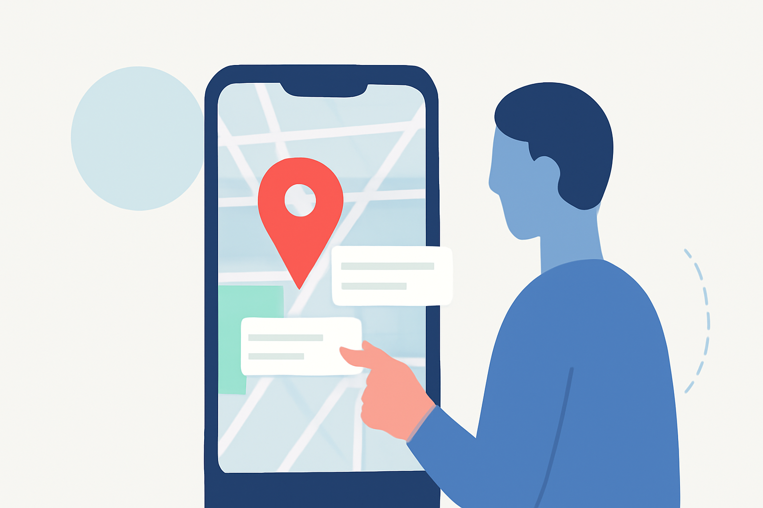
Editing overlay labels enhances your user experience by tailoring the information to your preferences. This could mean adjusting the font size for better visibility, changing colors for thematic labeling, or updating content based on flight data. Such flexibility can improve how you interact with the data you’re viewing.
Essential Features for Editing Text Labels
When evaluating apps for editing map overlay text labels, look for the following features:
- Customization Options: The ability to change font style, size, and color to suit your viewing needs.
- Dynamic Updating: Labels should refresh automatically with real-time data, so you’re always informed of current flights.
- User-Friendly Interfaces: An intuitive design makes it easier to navigate and make adjustments on-the-go, especially when you’re managing multiple overlays.
How Label Readability Is Managed in Mobile Flight-Tracking Map Overlays
Readability can be affected by various factors such as background color, font size, and the density of information. High-contrast color schemes and adjustable font sizes can make a significant difference.
- Some apps utilize your phone’s sensors to ensure that overlay text remains visible against the changing landscape or background.
- For example, certain systems may incorporate AR technologies to project transparent labels, maintaining clarity while ensuring you don't miss critical flight information.
Comparing Overlay Labeling Features Across Mobile Flight-Tracking Apps
Many flight-tracking applications offer varying capabilities when it comes to map overlay labeling. For example:
- Some apps provide adjustable labels that can be dynamically resized based on the zoom level of the map.
- Others excel in offering advanced customization for text alongside robust flight data, enhancing user control over engagement with the information.
- It's essential to consider how these features play into your specific needs and which applications support the editing functionalities you desire.
Privacy and Data-Use Considerations for Real-Time Flight Overlays
Handling of personal data is critical with any mobile application. When using apps for live map overlays:
- Ensure you understand what personal information might be collected by the app.
- Look for apps that clarify their data usage policies and how they protect user data.
- Engage with platforms known for their transparency regarding data management to alleviate privacy concerns.
User Experience: Why Planes Live Stands Out
For those looking to streamline their experience in managing flight data, Planes Live offers exceptional features tailored for mobile users. With real-time overlays and customization options that allow you to personalize your viewing experience, it simplifies the complexities of tracking flights.
- Users can adjust labels swiftly for optimal visibility, catering to their preferences directly on the map.
- The app relies on an extensive network for data accuracy and employs user-friendly interfaces to manage the overlays easily.
What We Recommend
- Try Planes Live for its user-friendly interface and extensive customization options.
- Use apps that support real-time updates for the most accurate overlay experiences.
- Regularly review your app's privacy settings and data management policies.
- Experiment with different overlay styles to find what arrangement works best for your needs.
In conclusion, the experience of editing map overlay text labels on your phone can significantly enhance the way you engage with live flight data. Choosing the right application, like Planes Live, will ensure that you're not only getting essential information but also enjoying the process of visualizing air traffic.