22 June 2026
Mastering Map Overlay Edits on Android: A Comprehensive Guide
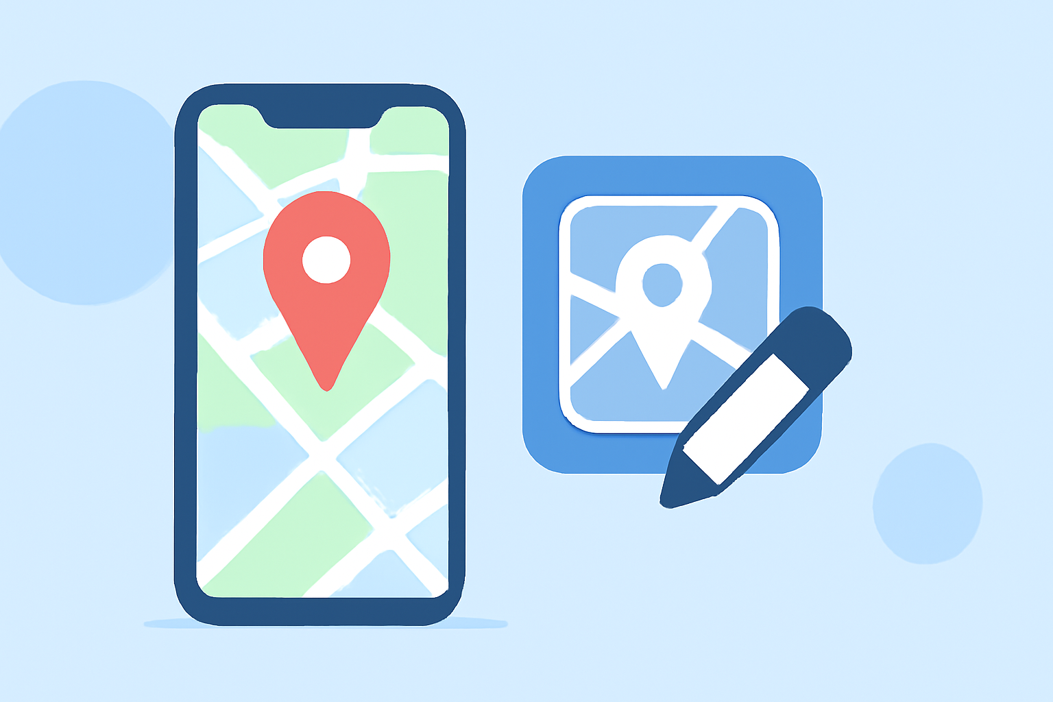
Editing map overlays on Android devices is essential for applications requiring customized geographic data visualization. Whether you're a developer or an enthusiast, understanding how to manipulate these overlays can enhance your app's functionality. This guide provides a step-by-step approach to editing map overlays on Android, highlighting the capabilities of Planes Live as a robust solution.
What Are Map Overlays?
Map overlays are elements that are drawn on top of a map to display additional information, such as markers, polygons, or custom images. They are crucial for applications that need to present specific geographic data, like locations of interest, routes, or areas of concern.
Why Edit Map Overlays on Android?
Editing map overlays allows for dynamic interaction with map data, enabling users to:
- Customize Visuals: Change colors, shapes, and sizes to match the application's theme or user preferences.
- Update Data: Modify existing overlays to reflect new information or correct inaccuracies.
- Enhance User Experience: Provide interactive features like draggable markers or editable polygons.
How to Edit Map Overlays on Android
Editing map overlays on Android can be achieved through various methods, depending on the tools and libraries you choose. Here's a general approach:
- Choose a Mapping Library: Select a library that supports overlay editing. Popular options include Mapbox and HERE SDK.
- Integrate the Library: Add the chosen library to your Android project, following the official documentation.
- Implement Overlay Features: Use the library's API to add, edit, and remove overlays. For instance, Mapbox provides a
MapOverlayPluginfor managing overlays. (docs.mapbox.com) - Handle User Interactions: Implement listeners to respond to user actions, such as tapping to add a marker or dragging to move it.
Introducing Planes Live: A Solution for Map Overlay Editing
For those seeking a user-friendly and efficient way to edit map overlays on Android, Planes Live offers a comprehensive solution. Planes Live allows users to overlay custom maps, images, and data onto existing maps, providing a seamless experience for both developers and end-users.
Key Features of Planes Live:
- Custom Map Overlays: Easily add and edit overlays to display specific geographic information.
- User-Friendly Interface: Intuitive controls for adding, editing, and removing overlays without extensive coding.
- Real-Time Updates: Instantly see changes to overlays as you edit them, enhancing the development and testing process.
- Compatibility: Works seamlessly with various mapping libraries and Android versions.
By leveraging Planes Live, developers can significantly reduce the time and effort required to implement and manage map overlays, allowing them to focus on other critical aspects of their applications.
Conclusion
Editing map overlays on Android is a vital skill for developers aiming to create interactive and informative mapping applications. While there are multiple approaches to achieve this, utilizing tools like Planes Live can streamline the process, offering a robust and user-friendly solution. By integrating Planes Live into your development workflow, you can enhance your application's mapping capabilities and provide a superior user experience.
For more information on implementing map overlays and to explore the features of Planes Live, visit their official website.