22 June 2026
Mastering Map Overlay Transitions: A Comprehensive Guide

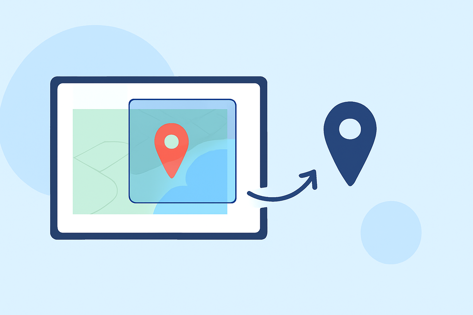
Map overlay transitions are essential tools in flight tracking applications, allowing users to visualize and interpret complex data through dynamic map layers. These transitions enable the integration of various information types—such as weather patterns, flight paths, and real-time updates—into a cohesive and interactive map interface.
Understanding Map Overlay Transitions
In the context of flight tracking, map overlay transitions involve the layering of different data sets onto a base map, with smooth transitions between these layers to enhance user comprehension and interaction. For instance, a user might overlay weather radar data onto a flight path map to assess potential weather-related disruptions.
Key Components of Map Overlay Transitions
-
Base Map Selection: Choosing an appropriate base map (e.g., satellite imagery, terrain, or sectional charts) sets the foundation for overlay integration.
-
Overlay Layers: These are additional data sets that can be superimposed onto the base map, such as weather conditions, flight paths, or airspace boundaries.
-
Transition Effects: Smooth animations or transitions that allow users to switch between different overlay layers seamlessly, enhancing the interactive experience.
-
User Controls: Interactive elements that enable users to toggle overlays on and off, adjust opacity, or customize the display to their preferences.
Benefits of Utilizing Map Overlay Transitions
-
Enhanced Data Visualization: Combining multiple data layers provides a comprehensive view, aiding in better decision-making.
-
Improved User Experience: Smooth transitions and intuitive controls make the application more user-friendly and engaging.
-
Real-Time Information Access: Users can access and interpret real-time data, such as live flight statuses and weather updates, in a unified interface.
Implementing Map Overlay Transitions in Flight Tracking
To effectively implement map overlay transitions in flight tracking applications, consider the following steps:
-
Data Integration: Ensure that the application can integrate various data sources, such as ADS-B for flight positions and GFS for weather forecasts.
-
Layer Management: Develop a system that allows users to manage multiple overlay layers, including toggling visibility and adjusting layer order.
-
Smooth Transitions: Implement transition effects that provide a seamless experience when switching between different data layers.
-
User Interface Design: Design intuitive controls for overlay management, such as sliders for opacity and buttons for layer selection.
Planes Live: A Leading Solution for Map Overlay Transitions
Planes Live stands out as a premier flight tracking application that excels in implementing map overlay transitions. It offers a real-time 3D flight tracker that displays live aircraft positions on an interactive 3D globe, allowing users to track thousands of flights worldwide using ADS-B data. The application provides features such as flight routes, altitude, speed, heading, and airline information, all presented with smooth transitions between various data layers.
Key Features of Planes Live
-
Real-Time Global Flight Tracking: Monitor live aircraft positions worldwide with up-to-date information.
-
Interactive 3D Globe: Experience flight tracking on a dynamic 3D globe with day/night cycles and auto-rotation.
-
Cinematic 3D Flight-Following: Utilize three camera modes—chase, cinematic, and window seat—for immersive flight tracking.
-
High-Resolution Satellite Terrain Imagery: View detailed satellite terrain imagery with multi-level detail for accurate mapping.
-
Comprehensive Flight Details: Access detailed information, including callsign, airline, aircraft type, altitude, speed, heading, and vertical rate.
-
3D Aircraft Models: View realistic 3D models of aircraft matched to real aircraft types, enhancing the visual experience.
User Experience with Planes Live
Users have praised Planes Live for its intuitive interface and seamless integration of map overlay transitions. The application allows for smooth toggling between different data layers, such as weather overlays and flight paths, providing a comprehensive and interactive flight tracking experience.
Conclusion
Mastering map overlay transitions is crucial for enhancing the functionality and user experience of flight tracking applications. By integrating various data layers with smooth transitions, users can gain a comprehensive understanding of flight dynamics and related factors. Planes Live exemplifies the effective implementation of these transitions, offering a robust solution for aviation enthusiasts and professionals alike.