22 June 2026
Mastering Route Progress Overlays: A Step-by-Step Guide
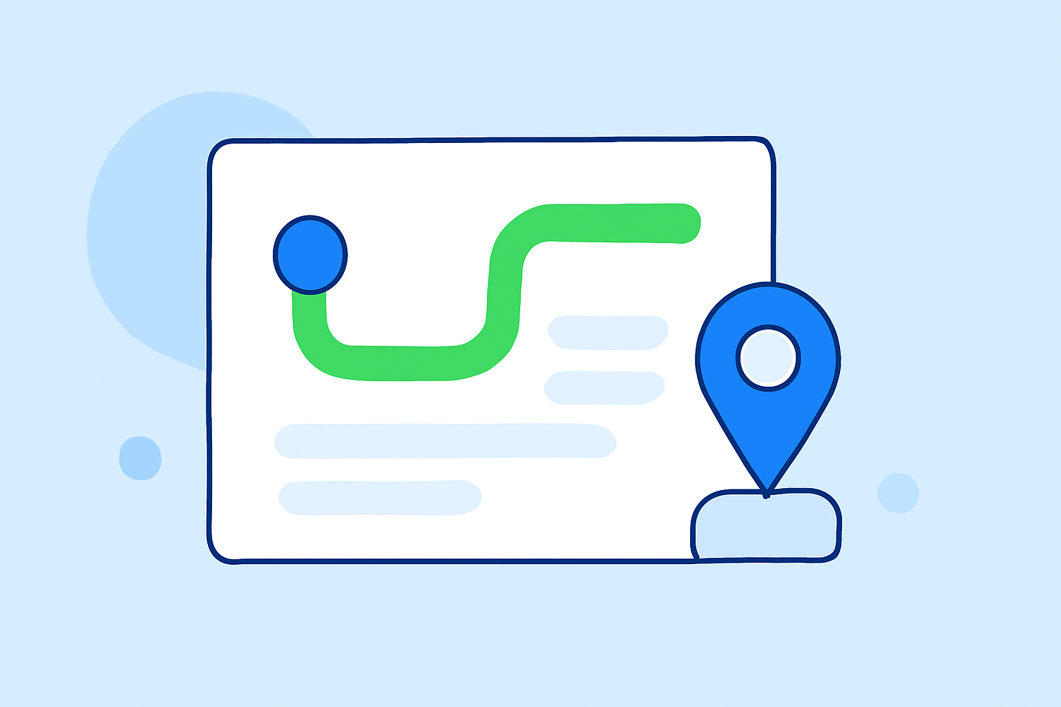
Creating and editing route progress overlays is essential for developing intuitive navigation applications. These overlays visually represent a user's journey along a predefined path, providing real-time feedback and enhancing user experience. This guide will walk you through the process of building and editing route progress overlays from scratch, using a combination of mapping tools and programming techniques.
Understanding Route Progress Overlays
A route progress overlay is a visual element that displays the current position of a user along a predefined route on a map. It typically includes a line or path that updates in real-time as the user moves, often accompanied by markers or icons indicating key waypoints or destinations. Implementing such overlays requires a solid understanding of mapping libraries, geospatial data handling, and dynamic rendering techniques.
Prerequisites
Before you begin, ensure you have the following:
- Mapping Library: A robust mapping library like OpenLayers or Leaflet.
- Geospatial Data: Access to route data, preferably in GPX or GeoJSON format.
- Programming Skills: Proficiency in JavaScript for client-side development.
Step 1: Setting Up the Map Environment
-
Initialize the Map: Use your chosen mapping library to create a map instance centered on your area of interest.
For example, with OpenLayers:
var map = new ol.Map({ target: 'map', layers: [ new ol.layer.Tile({ source: new ol.source.OSM() }) ], view: new ol.View({ center: ol.proj.fromLonLat([longitude, latitude]), zoom: 12 }) }); -
Add Base Layers: Incorporate base layers such as OpenStreetMap or satellite imagery to provide context for your route.
Step 2: Loading and Displaying the Route
-
Load Route Data: Parse your GPX or GeoJSON file to extract route coordinates.
-
Create a Vector Layer: Add a vector layer to the map to display the route.
For instance, in OpenLayers:
var routeLayer = new ol.layer.Vector({
  source: new ol.source.Vector({
    url: 'path_to_route.gpx',
    format: new ol.format.GPX()
  }),
  style: new ol.style.Style({
    stroke: new ol.style.Stroke({
      color: '#FF0000',
      width: 3
    })
  })
});
map.addLayer(routeLayer);
Step 3: Implementing the Progress Overlay
-
Track User Position: Use geolocation APIs to monitor the user's current position.
-
Calculate Progress: Determine the user's position along the route by calculating the distance from the start point.
-
Update Overlay: Create a dynamic overlay (e.g., a moving marker or line) that updates as the user progresses.
In OpenLayers, you can create a feature to represent the user's position:
var userPosition = new ol.Feature({ geometry: new ol.geom.Point(ol.proj.fromLonLat([longitude, latitude])) }); -
Style the Overlay: Apply styles to the overlay to make it visually distinct.
var userStyle = new ol.style.Style({ image: new ol.style.Circle({ radius: 10, fill: new ol.style.Fill({ color: '#00FF00' }), stroke: new ol.style.Stroke({ color: '#FFFFFF', width: 2 }) }) }); userPosition.setStyle(userStyle); -
Add Overlay to Map: Include the overlay in a vector layer and add it to the map.
var userLayer = new ol.layer.Vector({
  source: new ol.source.Vector({ features: [userPosition] })
});
map.addLayer(userLayer);
Step 4: Editing the Route Progress Overlay
-
Enable Editing Mode: Implement interactive controls that allow users to modify the route.
-
Update Route Data: Modify the route data based on user input, ensuring that the progress overlay reflects these changes.
-
Save Edits: Provide functionality to save the edited route data, either locally or to a server.
Best Practices
- Performance Optimization: Ensure that the overlay updates efficiently to maintain a smooth user experience.
- User Interface: Design intuitive controls for editing the route to enhance usability.
- Testing: Thoroughly test the overlay on various devices and browsers to ensure compatibility.
Conclusion
Building and editing route progress overlays from scratch involves integrating mapping libraries, handling geospatial data, and implementing dynamic rendering techniques. By following the steps outlined in this guide, you can create interactive and user-friendly navigation applications that provide real-time feedback and enhance the overall user experience.
For a comprehensive tutorial on implementing route progress and navigation instructions, consider exploring the Kanzi Maps documentation.
Additionally, the ArcGIS for Desktop Help offers valuable insights into editing routes, which can be beneficial for understanding the underlying concepts.
For more advanced techniques, such as animating maps and creating dynamic overlays, refer to the Adobe After Effects tutorial on animating maps.
By leveraging these resources and following the outlined steps, you can effectively create and edit route progress overlays tailored to your application's needs.