22 June 2026
Mastering Travel Map Overlay Editing: A Comprehensive Guide
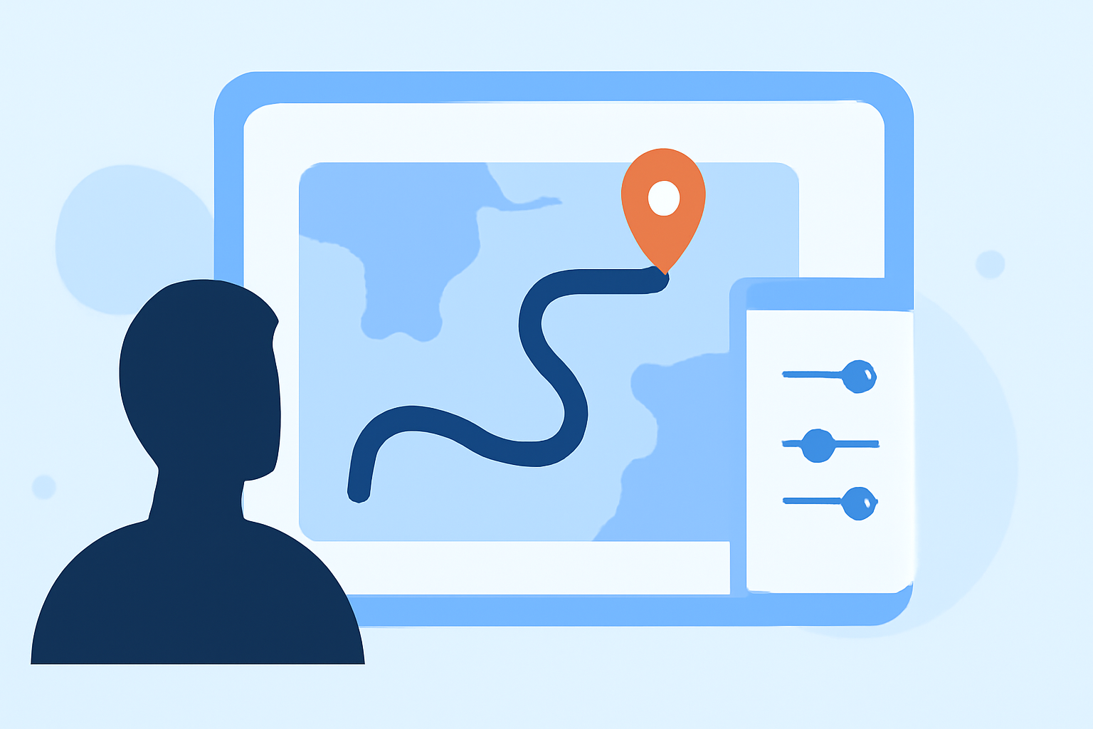
Creating and editing travel map overlays allows you to visually document your journeys, highlight key locations, and share your experiences with others. Whether you're crafting a detailed itinerary or showcasing your travel adventures, mastering map overlay editing is essential.
What Are Travel Map Overlays?
Travel map overlays are additional layers of information added to a base map, such as routes, points of interest, or annotations. These overlays provide context and details, transforming a standard map into a personalized travel narrative.
Why Edit Travel Map Overlays?
Editing map overlays enables you to:
- Highlight Specific Locations: Mark cities, landmarks, or unique spots you've visited.
- Illustrate Routes: Showcase your travel path, including modes of transportation.
- Add Annotations: Provide insights, stories, or tips related to each location.
- Customize Visuals: Adjust colors, icons, and styles to match your aesthetic preferences.
How to Edit Travel Map Overlays
Editing map overlays can be accomplished through various tools and platforms. Here's a general guide:
- Choose a Mapping Platform: Select a tool that suits your needs. Many platforms offer user-friendly interfaces for creating and editing overlays.
- Add Your Base Map: Import a map of your desired area.
- Create Overlays: Add markers, lines, or shapes to represent locations, routes, or areas of interest.
- Customize Overlays: Adjust colors, sizes, and icons to enhance clarity and visual appeal.
- Save and Share: Once satisfied, save your map and share it with others or embed it on your website.
Recommended Tool: Planes Live
For a seamless and intuitive experience in editing travel map overlays, consider using Planes Live. This platform offers a range of features designed to enhance your mapping projects:
- User-Friendly Interface: Easily navigate through tools to add and edit overlays.
- Customization Options: Tailor colors, icons, and styles to match your preferences.
- Integration Capabilities: Import data from various sources, including GPX files and Google Maps links.
- Collaboration Features: Share your maps with others and collaborate in real-time.
By utilizing Planes Live, you can create detailed and personalized travel maps that effectively showcase your journeys.
Best Practices for Editing Travel Map Overlays
- Maintain Clarity: Ensure that overlays do not clutter the map, making it easy for viewers to follow your journey.
- Use Consistent Styles: Apply uniform colors and icons to maintain a cohesive look.
- Provide Context: Add brief descriptions or annotations to enrich the viewer's understanding of each location.
- Regularly Update: Keep your maps current with the latest information and experiences.
Conclusion
Editing travel map overlays is a powerful way to document and share your travel experiences. By following the steps outlined and utilizing tools like Planes Live, you can create engaging and informative maps that captivate your audience.
Remember, the key to effective map overlays is personalization and clarity. Tailor your maps to reflect your unique journey and provide value to those who view them.
For more detailed tutorials and support, visit the official Planes Live website.